File:The A470 south of Trawsfynydd - Geograph - 1574658.jpg
Jump to navigation
Jump to search

No higher resolution available.
The_A470_south_of_Trawsfynydd_-_Geograph_-_1574658.jpg (640 × 428 pixels, file size: 93 KB, MIME type: image/jpeg)
| |||||||||||||||||||||||||
|
Galleries | A470 | Ffordd Cambria | ||
File history
Click on a date/time to view the file as it appeared at that time.
| Date/Time | Thumbnail | Dimensions | User | Comment | |
|---|---|---|---|---|---|
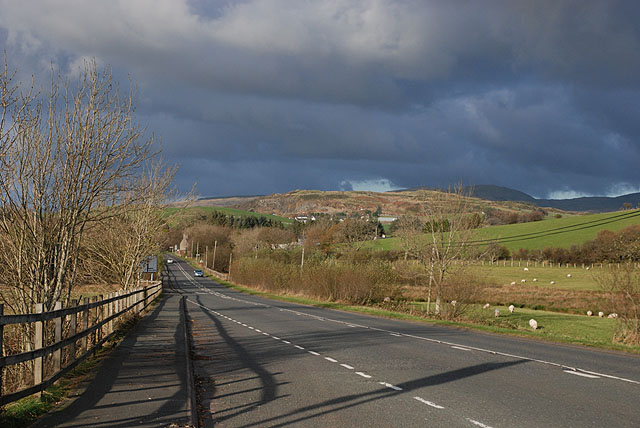
| current | 18:41, 21 March 2010 | | 640 × 428 (93 KB) | Jeni (talk | contribs) | '''The A470 south of Trawsfynydd'''<br/>The main part of the village lies off the current highway to the left (west), while under the hill ahead the cottages which grew up around the old railway station can be seen. |
File usage
There are no pages that use this file.