File:The A7 at Middleton Moor - Geograph - 3945911.jpg
Jump to navigation
Jump to search

No higher resolution available.
The_A7_at_Middleton_Moor_-_Geograph_-_3945911.jpg (640 × 480 pixels, file size: 62 KB, MIME type: image/jpeg)
| |||||||||||||||||||||||||
|
Galleries | A7 | Borders Historic Route | Flag Sign | Warning Sign | ||
File history
Click on a date/time to view the file as it appeared at that time.
| Date/Time | Thumbnail | Dimensions | User | Comment | |
|---|---|---|---|---|---|
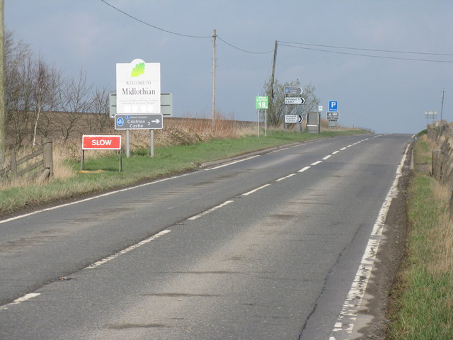
| current | 19:42, 17 May 2016 | | 640 × 480 (62 KB) | Ritchie333 (talk | contribs) | '''The A7 at Middleton Moor''' With a profusion of signs - seventeen in total - county boundary; road junction signs; bus stop; warnings; Borders Railway contractor signs; and tourist information. Looking from The Scottish borders into Midlothian - the... |
File usage
There are no pages that use this file.