File:The A889 Dalwhinnie to Catlodge road - Geograph - 1752803.jpg
Jump to navigation
Jump to search

No higher resolution available.
The_A889_Dalwhinnie_to_Catlodge_road_-_Geograph_-_1752803.jpg (640 × 480 pixels, file size: 76 KB, MIME type: image/jpeg)
| |||||||||||||||||||||||||
|
Galleries | A889 | B848 (Laggan - Dalwhinnie) | ||
File history
Click on a date/time to view the file as it appeared at that time.
| Date/Time | Thumbnail | Dimensions | User | Comment | |
|---|---|---|---|---|---|
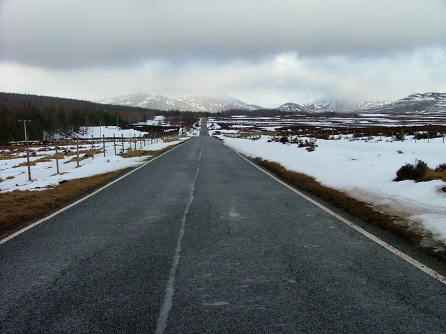
| current | 18:04, 17 March 2010 | | 640 × 480 (76 KB) | Jeni (talk | contribs) | '''The A889 Dalwhinnie to Catlodge road'''<br/>Looking north towards Strathmashie. |
File usage
The following 2 pages use this file: