File:The Clydeside Expressway - Geograph - 2517001.jpg
Jump to navigation
Jump to search

No higher resolution available.
The_Clydeside_Expressway_-_Geograph_-_2517001.jpg (640 × 480 pixels, file size: 166 KB, MIME type: image/jpeg)
| |||||||||||||||||||||||||
|
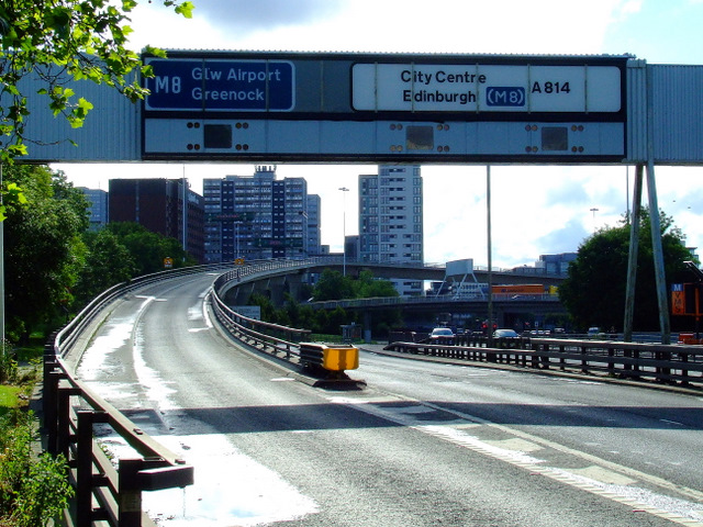
Galleries | A814 | M8 | E16 | Anderston Interchange | Glasgow | Gantry Sign | D2 | GSJ | ||
File history
Click on a date/time to view the file as it appeared at that time.
| Date/Time | Thumbnail | Dimensions | User | Comment | |
|---|---|---|---|---|---|
| current | 22:04, 10 January 2012 | | 640 × 480 (166 KB) | Bryn666 (talk | contribs) | The Clydeside Expressway |
File usage
The following 2 pages use this file: