File:The Hawthorn (C) Andy Stephenson - Geograph - 105933.jpg
Jump to navigation
Jump to search

No higher resolution available.
The_Hawthorn_(C)_Andy_Stephenson_-_Geograph_-_105933.jpg (640 × 427 pixels, file size: 91 KB, MIME type: image/jpeg)
| |||||||||||||||||||||||||
|
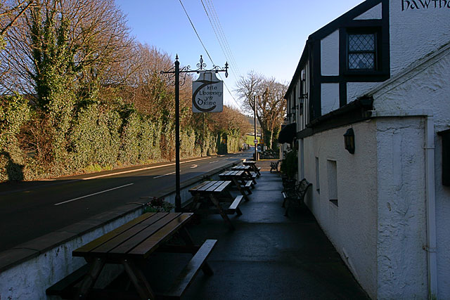
Galleries | A1 (Isle of Man) | TT Circuit | ||
File history
Click on a date/time to view the file as it appeared at that time.
| Date/Time | Thumbnail | Dimensions | User | Comment | |
|---|---|---|---|---|---|
| current | 10:14, 19 June 2013 | | 640 × 427 (91 KB) | Si404 (talk | contribs) | '''The Hawthorn (C) Andy Stephenson '''<br/>A pub/restaurant on the TT course. Looking along the road towards Greeba and Douglas. |
File usage
There are no pages that use this file.
_Andy_Stephenson_-_Geograph_-_105933.jpg&oldid=348168)