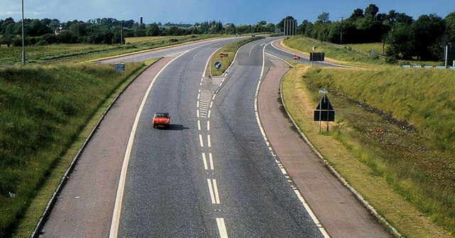
File:The M12 near Portadown - Geograph - 2448546.jpg
Jump to navigation
Jump to search

No higher resolution available.
The_M12_near_Portadown_-_Geograph_-_2448546.jpg (640 × 335 pixels, file size: 85 KB, MIME type: image/jpeg)
| |||||||||||||||||||||||||
|
Galleries | M12 (Northern Ireland) | T5 (Northern Ireland) | E18 | Information Sign | D2 | S2 | GSJ | Carn Roundabout | ||
File history
Click on a date/time to view the file as it appeared at that time.
| Date/Time | Thumbnail | Dimensions | User | Comment | |
|---|---|---|---|---|---|
| current | 21:46, 31 July 2012 | | 640 × 335 (85 KB) | Bryn666 (talk | contribs) | The M12 near Portadown |
File usage
The following 5 pages use this file: