File:The M1 at Ballynacor - Geograph - 1591427.jpg
Jump to navigation
Jump to search

No higher resolution available.
The_M1_at_Ballynacor_-_Geograph_-_1591427.jpg (640 × 480 pixels, file size: 85 KB, MIME type: image/jpeg)
| |||||||||||||||||||||||||
|
Galleries | M1 (Northern Ireland) | M12 (Northern Ireland) | Ballynacor Interchange | T4 (Northern Ireland) | T5 (Northern Ireland) | E18 | ||
File history
Click on a date/time to view the file as it appeared at that time.
| Date/Time | Thumbnail | Dimensions | User | Comment | |
|---|---|---|---|---|---|
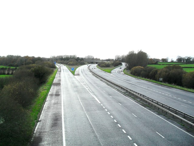
| current | 12:41, 16 June 2010 | | 640 × 480 (85 KB) | Si404 (talk | contribs) | '''The M1 at Ballynacor'''<br/>The M1 (Northern Ireland) at Junction 11, where the M12 breaks away to Craigavon and Portadown - as well as a link to the A3 to Armagh and Monaghan. The view is towards Dungannon. Townland of Ballynacor.<br /> <br /> The M |
File usage
The following 3 pages use this file: