File:The M1 near Lurgan (3) - Geograph - 341409.jpg
Jump to navigation
Jump to search

No higher resolution available.
The_M1_near_Lurgan_(3)_-_Geograph_-_341409.jpg (640 × 426 pixels, file size: 124 KB, MIME type: image/jpeg)
| |||||||||||||||||||||||||
|
Galleries | M1 (Northern Ireland) | Lough Road Roundabout | ||
File history
Click on a date/time to view the file as it appeared at that time.
| Date/Time | Thumbnail | Dimensions | User | Comment | |
|---|---|---|---|---|---|
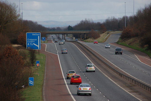
| current | 11:02, 16 June 2010 | | 640 × 426 (124 KB) | Si404 (talk | contribs) | '''The M1 near Lurgan (3)'''<br/><br /> This is the M1 (looking towards Belfast) seen from the Boconnell Bridge. The Lurgan slips roads and roundabout bridges can be seen in the background.<br /> |
File usage
The following 2 pages use this file:
_-_Geograph_-_341409.jpg&oldid=185615)