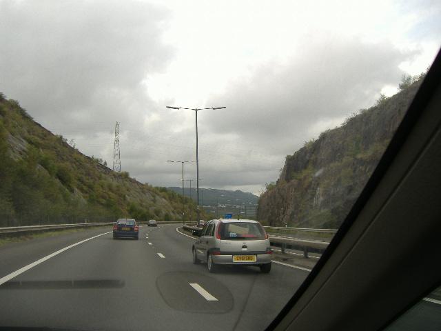
File:The M4 traversing the Earlswood Cutting, part of the 'M4 gap' which was only closed during the mid-1990s. Briton Ferry-Llansawel is now behind the motorway. - Coppermine - 7376.jpg
Jump to navigation
Jump to search

No higher resolution available.
The_M4_traversing_the_Earlswood_Cutting,_part_of_the_'M4_gap'_which_was_only_closed_during_the_mid-1990s._Briton_Ferry-Llansawel_is_now_behind_the_motorway._-_Coppermine_-_7376.jpg (640 × 480 pixels, file size: 27 KB, MIME type: image/jpeg)
| |||||||||||||||||||||||||
File history
Click on a date/time to view the file as it appeared at that time.
| Date/Time | Thumbnail | Dimensions | User | Comment | |
|---|---|---|---|---|---|
| current | 21:34, 15 February 2010 | | 640 × 480 (27 KB) | Ritchie333 (talk | contribs) | {{Information |description = '''The M4 traversing the Earlswood Cutting, part of the 'M4 gap' which was only closed during the mid-1990s. Briton Ferry-Llansawel is now behind the motorway.''' <small>''Originally uploaded to Coppermine on Aug 25, 2006 b |
File usage
There are no pages that use this file.