File:The Magic Roundabout to Canvey Island - Geograph - 65737.jpg

From Roader's Digest: The SABRE Wiki
Jump to navigation Jump to search

The_Magic_Roundabout_to_Canvey_Island_-_Geograph_-_65737.jpg(640 × 482 pixels, file size: 83 KB, MIME type: image/jpeg)

Y topleft.gifY topright.gif
Description:
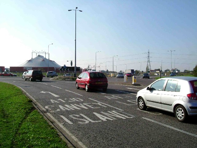
The Magic Roundabout to Canvey Island
This is the Sadlers Farm Junction of the A13, A130 and B1464. It is a tad disconcerting the first time one comes to a gyratory like this one where traffic comes at you from right and left. However if you forget it used to be a roundabout and think of it as a bent bit of road with five mini roundabouts on it there�s no problem!
Location:51.566013, 0.542276
Road:A13, A130 , B1464
Date:15 10 2005
Photographer:� Copyright Glyn Baker and licensed for reuse under this Creative Commons Licence
Source:Geograph

Map

Y btmleft.gifY btmright.gif

Galleries  | A13 | A130 | B1464 | Sadlers Farm | Sadlers Farm | Sadlers Farm | Magic Gyratory

File history

Click on a date/time to view the file as it appeared at that time.

Date/TimeThumbnailDimensionsUserComment
current22:12, 25 September 2010Thumbnail for version as of 22:12, 25 September 2010640 × 482 (83 KB)Multiraider2 (talk | contribs)'''The Magic Roundabout to Canvey Island'''<br/>This is the Sadlers Farm Junction of the A13, A130 and B1464. It is a tad disconcerting the first time one comes to a gyratory like this one where traffic comes at you from right and left. However if you for

Metadata

SABRE - The Society for All British and Irish Road Enthusiasts
Discuss - Digest - Discover - Help