File:The Old Forge, Dane End, Hertfordshire - Geograph - 1871532.jpg
Jump to navigation
Jump to search

No higher resolution available.
The_Old_Forge,_Dane_End,_Hertfordshire_-_Geograph_-_1871532.jpg (640 × 480 pixels, file size: 80 KB, MIME type: image/jpeg)
| |||||||||||||||||||||||||
|
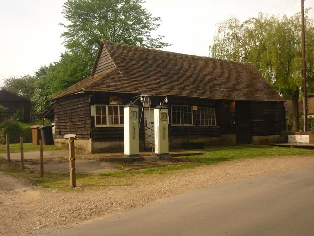
Galleries | Hertfordshire | Petrol station | ||
File history
Click on a date/time to view the file as it appeared at that time.
| Date/Time | Thumbnail | Dimensions | User | Comment | |
|---|---|---|---|---|---|
| current | 07:10, 7 May 2016 | | 640 × 480 (80 KB) | C2r (talk | contribs) | '''The Old Forge, Dane End, Hertfordshire''' Grade II listed structure - for more visit http://www.britishlistedbuildings.co.uk/en-161331-dane-end-forge-little-munden |
File usage
The following 2 pages use this file: