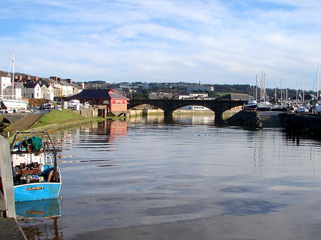
File:The Rheidol and Trefechan Bridge - Geograph - 659057.jpg
Jump to navigation
Jump to search

No higher resolution available.
The_Rheidol_and_Trefechan_Bridge_-_Geograph_-_659057.jpg (640 × 480 pixels, file size: 62 KB, MIME type: image/jpeg)
| |||||||||||||||||||||||||
|
Galleries | A487 | Ffordd Arfordirol | Aberystwyth | ||
File history
Click on a date/time to view the file as it appeared at that time.
| Date/Time | Thumbnail | Dimensions | User | Comment | |
|---|---|---|---|---|---|
| current | 19:54, 22 May 2010 | | 640 × 480 (62 KB) | Rileyrob (talk | contribs) | The Rheidol and Trefechan Bridge |
File usage
The following 3 pages use this file: