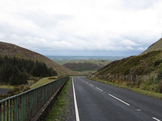
File:The Spelga Pass - Geograph - 2411677.jpg
Jump to navigation
Jump to search

No higher resolution available.
The_Spelga_Pass_-_Geograph_-_2411677.jpg (640 × 480 pixels, file size: 57 KB, MIME type: image/jpeg)
| |||||||||||||||||||||||||
|
Galleries | B27 (Northern Ireland) | County Down | B Roads (Northern Ireland) | ||
File history
Click on a date/time to view the file as it appeared at that time.
| Date/Time | Thumbnail | Dimensions | User | Comment | |
|---|---|---|---|---|---|
| current | 17:58, 12 April 2013 | | 640 × 480 (57 KB) | Bothar (talk | contribs) | The Spelga Pass |
File usage
The following 4 pages use this file: