File:The Thames passing under the A419 (C) Philip Halling - Geograph - 2393540.jpg
Jump to navigation
Jump to search

No higher resolution available.
The_Thames_passing_under_the_A419_(C)_Philip_Halling_-_Geograph_-_2393540.jpg (640 × 425 pixels, file size: 98 KB, MIME type: image/jpeg)
| |||||||||||||||||||||||||
|
Galleries | A419 | A419 Road Bridge | ||
File history
Click on a date/time to view the file as it appeared at that time.
| Date/Time | Thumbnail | Dimensions | User | Comment | |
|---|---|---|---|---|---|
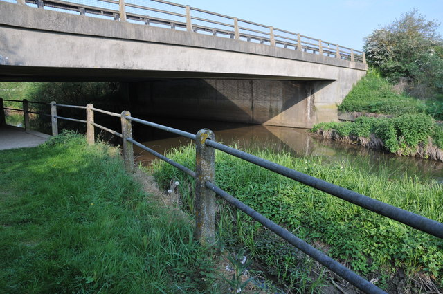
| current | 16:53, 29 October 2014 | | 640 × 425 (98 KB) | Jeni (talk | contribs) | '''The Thames passing under the A419 (C) Philip Halling '''<br/>The River Thames flowing under a bridge carrying the under the A419 near Cricklade. |
File usage
The following 2 pages use this file:
_Philip_Halling_-_Geograph_-_2393540.jpg&oldid=389848)