File:The new Drygrange Bridge - Geograph - 1942761.jpg
Jump to navigation
Jump to search

No higher resolution available.
The_new_Drygrange_Bridge_-_Geograph_-_1942761.jpg (640 × 480 pixels, file size: 86 KB, MIME type: image/jpeg)
| |||||||||||||||||||||||||
|
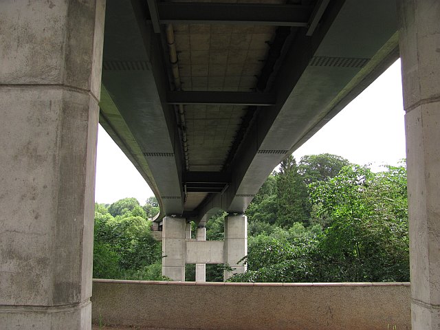
Galleries | A68 | Drygrange Bridge | ||
File history
Click on a date/time to view the file as it appeared at that time.
| Date/Time | Thumbnail | Dimensions | User | Comment | |
|---|---|---|---|---|---|
| current | 12:58, 16 July 2010 | | 640 × 480 (86 KB) | Bob@romiley1 (talk | contribs) | '''The new Drygrange Bridge'''<br/>A68 crossing of the Tweed, replacing the old single track bridge just upstream. |
File usage
The following 2 pages use this file: