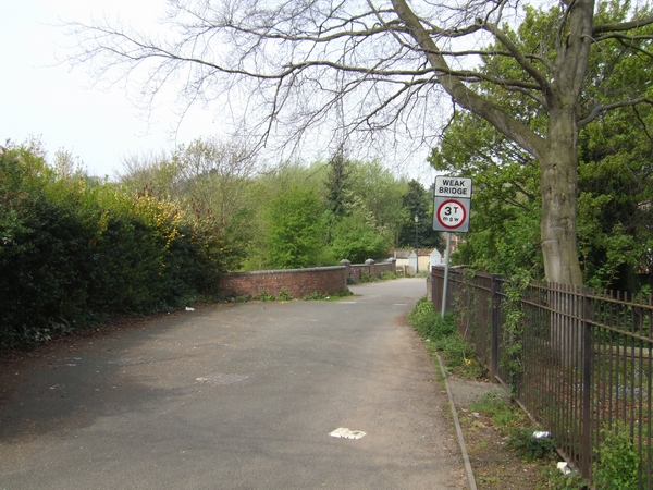
The old Holyhead road at Newbridge, Wolverhampton. Prior to 1823 this was the crossing point of the Staffs & Worcs Canal and the Smestow Brook and marked the start of the long and steep climb over the sandstone ridge to Tettenhall. This was on the important coach route between London and Holyhead.
{{Information |description = The old Holyhead road at Newbridge, Wolverhampton. Prior to 1823 this was the crossing point of the Staffs & Worcs Canal and the Smestow Brook and marked the start of the long and steep climb over the sandstone ridge to Tette
