File:The southern end of the M5, near Exeter - Geograph - 996285.jpg
Jump to navigation
Jump to search

No higher resolution available.
The_southern_end_of_the_M5,_near_Exeter_-_Geograph_-_996285.jpg (640 × 480 pixels, file size: 88 KB, MIME type: image/jpeg)
| |||||||||||||||||||||||||
|
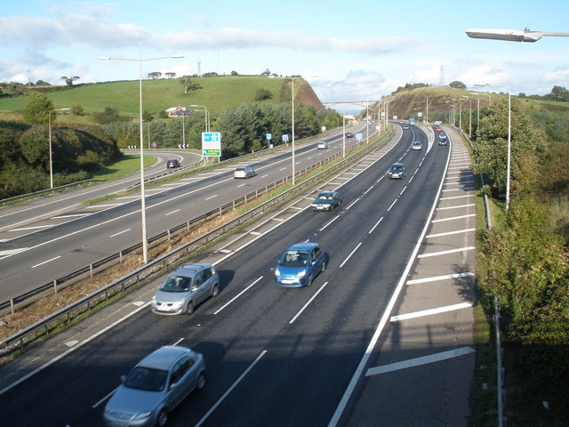
Galleries | A38 | M5 | Pearce's Hill | ||
File history
Click on a date/time to view the file as it appeared at that time.
| Date/Time | Thumbnail | Dimensions | User | Comment | |
|---|---|---|---|---|---|
| current | 22:44, 29 August 2009 | | 640 × 480 (88 KB) | Jeni (talk | contribs) | {{Information |description = The southern end of the M5, near Exeter |day = 07 |month = 10 |year = 2008 |photographer = © Copyright [http://www.geograph.org.uk/profile/8800 Roger Cornfoot] and licensed for reuse under [http://cre |
File usage
The following 2 pages use this file: