File:Thomas Lewis Way, Southampton - Geograph - 26918.jpg

From Roader's Digest: The SABRE Wiki
Jump to navigation Jump to search

Thomas_Lewis_Way,_Southampton_-_Geograph_-_26918.jpg(640 × 480 pixels, file size: 93 KB, MIME type: image/jpeg)

Y topleft.gifY topright.gif
Description:
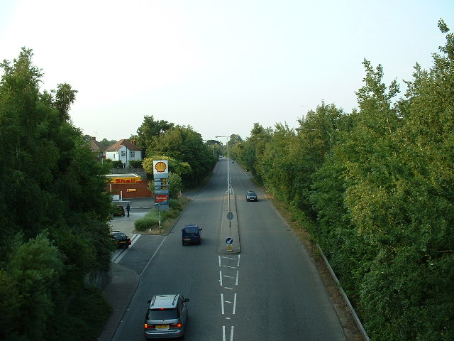
Thomas Lewis Way, Southampton
Looking North along Thomas Lewis Way, a fairly new road to take traffic into Southampton from Eastleigh avoiding the motorway and the congested areas of Swaythling and Portswood. This picture was taken from the Woodmill Lane bridge.
Location:50.938192, -1.378725
Road:A335
Date:13 07 2005
Photographer:� Copyright GaryReggae and licensed for reuse under this Creative Commons Licence
Source:Geograph

Map

Y btmleft.gifY btmright.gif

Galleries  | A335 | Southampton

File history

Click on a date/time to view the file as it appeared at that time.

Date/TimeThumbnailDimensionsUserComment
current19:48, 16 April 2010Thumbnail for version as of 19:48, 16 April 2010640 × 480 (93 KB)Sabristo simon (talk | contribs)'''Thomas Lewis Way, Southampton'''<br/>Looking North along Thomas Lewis Way, a fairly new road to take traffic into Southampton from Eastleigh avoiding the motorway and the congested areas of Swaythling and Portswood. This picture was taken from the Wo

The following page uses this file:

Metadata

SABRE - The Society for All British and Irish Road Enthusiasts
Discuss - Digest - Discover - Help