File:Toll Road to Harlech - Geograph - 606780.jpg

From Roader's Digest: The SABRE Wiki
Jump to navigation Jump to search

Toll_Road_to_Harlech_-_Geograph_-_606780.jpg(640 × 480 pixels, file size: 189 KB, MIME type: image/jpeg)

Y topleft.gifY topright.gif
Description:
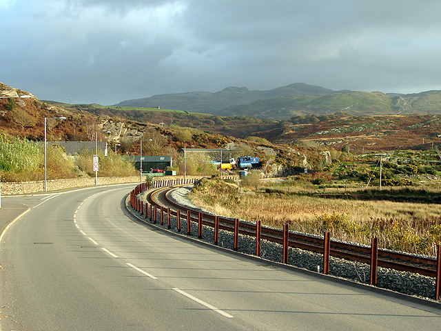
Toll Road to Harlech
This road leads to the toll bridge which provides a shortened route to Harlech from Penrhyndeudraeth. Immediately ahead is the site on which explosives were manufactured from 1872 until 1997. Most of the site is now a nature reserve.
Location:52.927942, -4.058420
Road:Ffordd Arfordirol
Date:06 11 2007
Photographer:� Copyright OLU and licensed for reuse under this Creative Commons Licence
Source:Geograph

Map

Y btmleft.gifY btmright.gif

Galleries  | Ffordd Arfordirol | Pont Briwet

File history

Click on a date/time to view the file as it appeared at that time.

Date/TimeThumbnailDimensionsUserComment
current12:58, 21 March 2010Thumbnail for version as of 12:58, 21 March 2010640 × 480 (189 KB)Jeni (talk | contribs)'''Toll Road to Harlech'''<br/>This road leads to the toll bridge which provides a shortened route to Harlech from Penrhyndeudraeth. Immediately ahead is the site on which explosives were manufactured from 1872 until 1997. Most of the site is now a nature

The following 2 pages use this file:

Metadata

SABRE - The Society for All British and Irish Road Enthusiasts
Discuss - Digest - Discover - Help