File:Town Bridge - Geograph - 1866873.jpg
Jump to navigation
Jump to search

Size of this preview: 450 × 600 pixels. Other resolution: 480 × 640 pixels.
Original file (480 × 640 pixels, file size: 114 KB, MIME type: image/jpeg)
| |||||||||||||||||||||||||
|
Galleries | A6 | Bedford | Town Bridge (Bedford) | Bedfordshire | ||
File history
Click on a date/time to view the file as it appeared at that time.
| Date/Time | Thumbnail | Dimensions | User | Comment | |
|---|---|---|---|---|---|
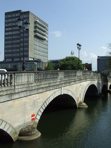
| current | 16:04, 23 June 2010 | | 480 × 640 (114 KB) | Bob@romiley1 (talk | contribs) | '''Town Bridge'''<br/>With the Park Inn Hotel beyond. |
File usage
The following 3 pages use this file: