File:Trenholme Bar A19 northbound - Geograph - 6709145.jpg
Jump to navigation
Jump to search

No higher resolution available.
Trenholme_Bar_A19_northbound_-_Geograph_-_6709145.jpg (640 × 462 pixels, file size: 49 KB, MIME type: image/jpeg)
| |||||||||||||||||||||||||
|
Galleries | A19 | C1 | Trenholme Bar Interchange | ||
File history
Click on a date/time to view the file as it appeared at that time.
| Date/Time | Thumbnail | Dimensions | User | Comment | |
|---|---|---|---|---|---|
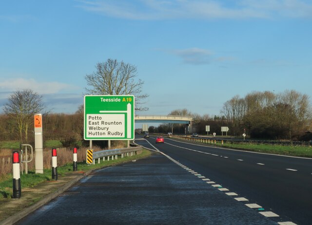
| current | 18:36, 5 March 2023 | | 640 × 462 (49 KB) | Ravenbluemoon (talk | contribs) | '''A19 northbound''' Approaching the junction for East Rounton and Hutton Rudby where the overbridge replaces a junction which was notorious for accidents. |
File usage
The following 3 pages use this file: