File:View of Red Bay, Northern Ireland - Geograph - 2796252.jpg
Jump to navigation
Jump to search

No higher resolution available.
View_of_Red_Bay,_Northern_Ireland_-_Geograph_-_2796252.jpg (640 × 331 pixels, file size: 54 KB, MIME type: image/jpeg)
| |||||||||||||||||||||||||
|
Galleries | A43 (Northern Ireland) | Glenballyemon Scenic Route | Tourist Routes in Northern Ireland | ||
File history
Click on a date/time to view the file as it appeared at that time.
| Date/Time | Thumbnail | Dimensions | User | Comment | |
|---|---|---|---|---|---|
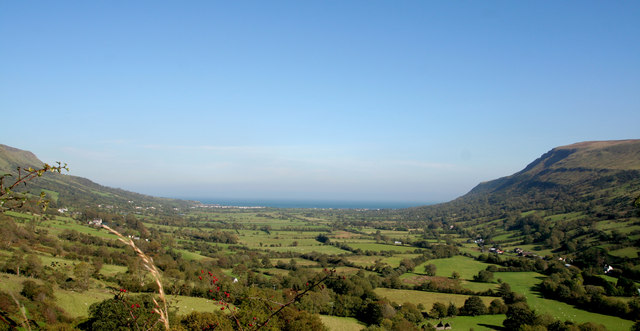
| current | 17:31, 24 May 2013 | | 640 × 331 (54 KB) | Si404 (talk | contribs) | '''View of Red Bay, Northern Ireland'''<br/>Red Bay along the Co Antrim Causeway Coastal Route Northern Ireland |
File usage
The following page uses this file: