File:Wallingford.jpg
Jump to navigation
Jump to search

No higher resolution available.
Wallingford.jpg (600 × 567 pixels, file size: 181 KB, MIME type: image/jpeg)
| |||||||||||||||||||||||||
|
Galleries | B479 | A423 | A4130 | OS One Inch | ||
File history
Click on a date/time to view the file as it appeared at that time.
| Date/Time | Thumbnail | Dimensions | User | Comment | |
|---|---|---|---|---|---|
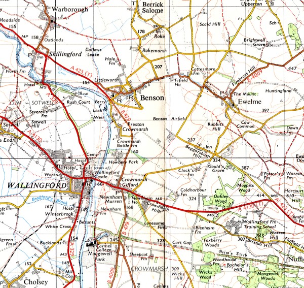
| current | 20:09, 25 November 2009 | | 600 × 567 (181 KB) | Ritchie333 (talk | contribs) | {{Information |description = Main roads around Wallingford and Benson, following the expansion of RAF Benson in the Second World War |day = |month = |year = 1959 |photographer = Ordnance Survey |source = Ordnance Survey Se |
File usage
The following page uses this file: