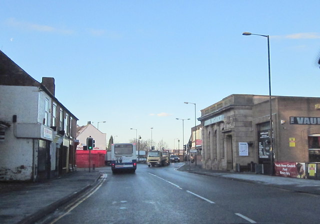
File:Walsall Road Darlaston Approaching Darlaston Road Junction - Geograph - 2734140.jpg
Jump to navigation
Jump to search

No higher resolution available.
Walsall_Road_Darlaston_Approaching_Darlaston_Road_Junction_-_Geograph_-_2734140.jpg (640 × 448 pixels, file size: 47 KB, MIME type: image/jpeg)
| |||||||||||||||||||||||||
|
Galleries | A4038 | ||
File history
Click on a date/time to view the file as it appeared at that time.
| Date/Time | Thumbnail | Dimensions | User | Comment | |
|---|---|---|---|---|---|
| current | 08:19, 9 January 2012 | | 640 × 448 (47 KB) | Steven (talk | contribs) | Walsall Road Darlaston Approaching Darlaston Road Junction |
File usage
The following page uses this file: