File:Warrington Bridge - Geograph - 1303380.jpg
Jump to navigation
Jump to search

No higher resolution available.
Warrington_Bridge_-_Geograph_-_1303380.jpg (640 × 480 pixels, file size: 54 KB, MIME type: image/jpeg)
| |||||||||||||||||||||||||
|
Galleries | A49 | A5061 | Warrington | Warrington Bridge | ||
File history
Click on a date/time to view the file as it appeared at that time.
| Date/Time | Thumbnail | Dimensions | User | Comment | |
|---|---|---|---|---|---|
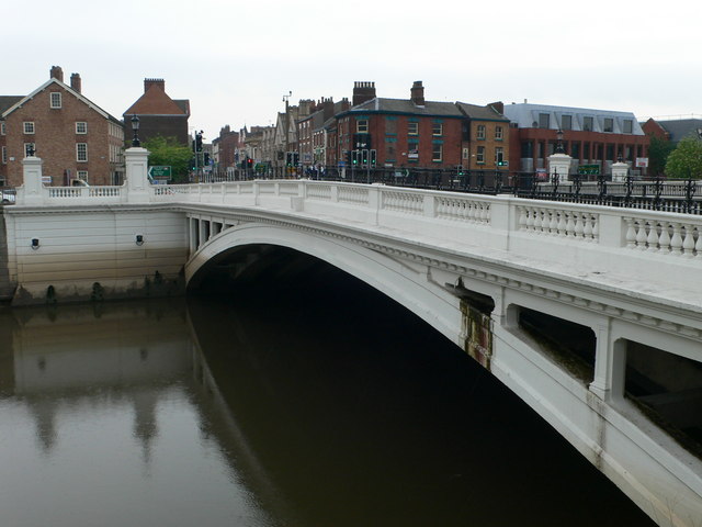
| current | 12:47, 4 August 2010 | | 640 × 480 (54 KB) | Bob@romiley1 (talk | contribs) | '''Warrington Bridge'''<br/>Warrington Bridge played an important part in the defence of Warrington during the Civil War. In 1648, the remnants of the Duke of Hamilton's army surrendered to Cromwell here. |
File usage
The following page uses this file: