File:Wells-1946.jpg
Jump to navigation
Jump to search

No higher resolution available.
Wells-1946.jpg (766 × 463 pixels, file size: 189 KB, MIME type: image/jpeg)
| |||||||||||||||||||||||||
|
Galleries | A39 | A371 | B3139 | Wells | OS One Inch | ||
File history
Click on a date/time to view the file as it appeared at that time.
| Date/Time | Thumbnail | Dimensions | User | Comment | |
|---|---|---|---|---|---|
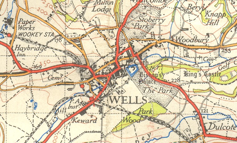
| current | 20:07, 27 November 2009 | | 766 × 463 (189 KB) | Rileyrob (talk | contribs) | {{Information |description = Wells in 1946 |day = |month = |year = 1946 |photographer = |source = OS NPE Sheet 165 |road = A39 |road2 = A371 |road3 = B3139 |lat = 51.2107549 |lng = |
File usage
The following 3 pages use this file: