File:Western Way Interchange.png
Jump to navigation
Jump to search

No higher resolution available.
Western_Way_Interchange.png (360 × 208 pixels, file size: 15 KB, MIME type: image/png)
| |||||||||||||||||||||||||
|
Galleries | A41 | Western Way Interchange | Wolverhampton | Wednesbury | ||
File history
Click on a date/time to view the file as it appeared at that time.
| Date/Time | Thumbnail | Dimensions | User | Comment | |
|---|---|---|---|---|---|
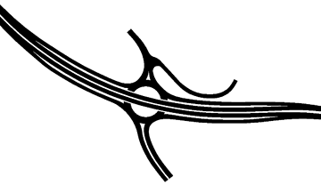
| current | 15:42, 23 August 2013 | | 360 × 208 (15 KB) | Truvelo (talk | contribs) | Late 1980s plan for an unbuilt junction on the Black Country Spine Road |
File usage
The following 2 pages use this file: