File:Westward on Marylebone Road at Gloucester Place, 1989 - Geograph - 4632900.jpg
Jump to navigation
Jump to search

No higher resolution available.
Westward_on_Marylebone_Road_at_Gloucester_Place,_1989_-_Geograph_-_4632900.jpg (640 × 407 pixels, file size: 113 KB, MIME type: image/jpeg)
| |||||||||||||||||||||||||
|
Galleries | A501 | A41 | Baker Street | London | ||
File history
Click on a date/time to view the file as it appeared at that time.
| Date/Time | Thumbnail | Dimensions | User | Comment | |
|---|---|---|---|---|---|
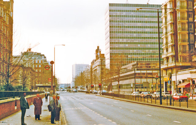
| current | 20:53, 3 September 2016 | | 640 × 407 (113 KB) | C2r (talk | contribs) | '''Westward on Marylebone Road at Gloucester Place, 1989''' View west on A501 at crossing (behind) of A41 (Gloucester Place). Traffic is light because it is winter Sunday. |
File usage
The following 3 pages use this file: