File:Yr hen orsaf Pwllheli Old station (C) Alan Fryer - Geograph - 355488.jpg
Jump to navigation
Jump to search

No higher resolution available.
Yr_hen_orsaf_Pwllheli_Old_station_(C)_Alan_Fryer_-_Geograph_-_355488.jpg (640 × 512 pixels, file size: 88 KB, MIME type: image/jpeg)
| |||||||||||||||||||||||||
|
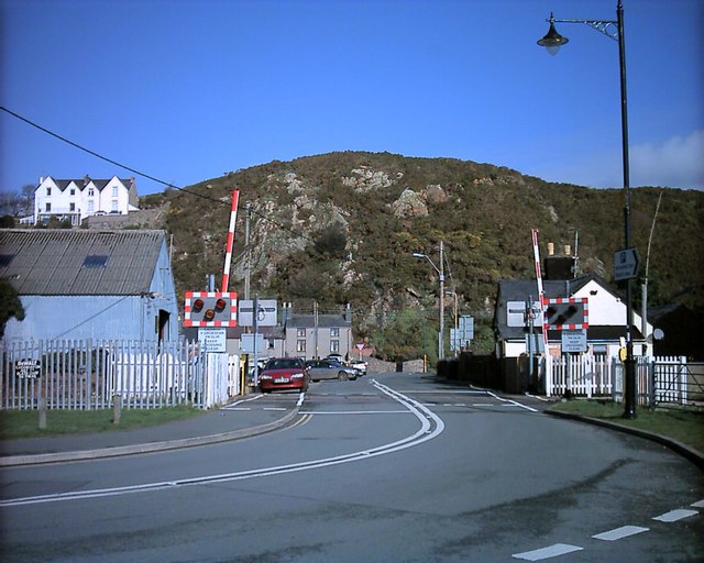
Galleries | Level Crossing | Pwllheli | Caernarfonshire | ||
File history
Click on a date/time to view the file as it appeared at that time.
| Date/Time | Thumbnail | Dimensions | User | Comment | |
|---|---|---|---|---|---|
| current | 17:08, 26 October 2013 | | 640 × 512 (88 KB) | Glen (talk | contribs) | '''Yr hen orsaf Pwllheli Old station (C) Alan Fryer '''<br/>This crossing is near the site of the original Pwllheli station on the Cambrian Railway |
File usage
The following 3 pages use this file:
_Alan_Fryer_-_Geograph_-_355488.jpg&oldid=355969)