Gallery:A212
From Roader's Digest: The SABRE Wiki
Jump to navigation
Jump to search
A200-A299 > A212
This gallery has no child categories
A212
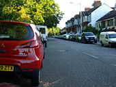
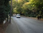
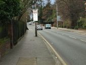
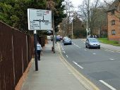
A212 descends past Grangewood Park on its journey from Beulah Hill. Note the on-pavement parking allowed.
A212 Crystal Palace Parade
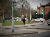
Looking down towards Upper Norwood with the site of the former Crystal Palace on the left. In the distance is the Croydon transmitter. The Crystal Palace once ran nearly the complete length of the road. Underneath is the Paxton Tunnel for the former Crystal Palace to London Bridge High Level railway. The only time I have ever seen this road quiet is around 7am on a Sunday.
Originally uploaded to Coppermine on May 29, 2006 by Nick_A34Junction of the A212 & A214
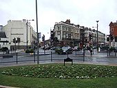
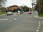
This is the crossing point of the A212 & A214 in Crystal Palace. Despite what the maps & TomTom say, this is a one way system. The A212 towards Croydon is to the left of the pub.
Originally uploaded to Coppermine on Mar 26, 2006 by Nick_A34Addington area
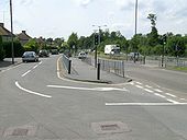
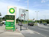
A2022/A212 rbt. June 23 2008
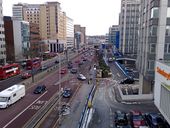
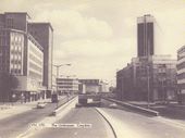
Originally uploaded to Coppermine on Aug 06, 2008 by SteveA30The Croydon Canyon - A212 Wellesley Road, Croydon Underpass, and the central reservation tram tracks
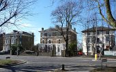
130-142 Church Road (C) Stephen Richards
A selection of solid mid-C19th houses of similar scale, but each differing slightly in the styles and motifs employed. The one on the right is now a doctors' surgery.
Church Road has a number of good suburban villas dating from around this time, many of which have been converted to multiple occupancy or institutional use, and most of its buildings are within a Conservation Area.
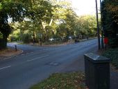
B243 (southern section) reaches the A212. The signage still indicates the continuance of the route as the A2039, a rather short-lived moniker.
The B243 having crossed the A212 on a couple of mini roundabouts spaced closely, rises away on the appropriately named Park Hill Rise.
Hidden categories:
