Gallery:A334

From Roader's Digest: The SABRE Wiki
Jump to navigation Jump to search
A300-A399 > A334


This gallery has no child categories
A334
 
 
A334 Charles Watts Way - Coppermine - 11093.JPG
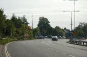
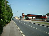
A334 Charles Watts Way

Heading outbound from the Kanes Hill Roundabout towards Jct 7 of the M27. The local transport plan will see this road widened to S2+1, although D2 would be better, as you get long traffic queues forming in both directions; inbound caused by a single set of Southampton's traffic lights at the junction of Thornhill Park Road and Hinkler Road, which don't give enough time to A334 traffic in rush hour and create horrendous delays.

Originally uploaded to Coppermine on Apr 05, 2007 by sotonsteve
A334 Thornhill Park Road - Coppermine - 6634.JPG
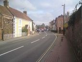
A334 Thornhill Park Road

Looking outbound towards the parade of shops.

Originally uploaded to Coppermine on Jul 03, 2006 by sotonsteve
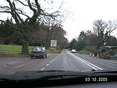
A334 in Shedfield - Coppermine - 4165.jpg
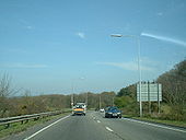
A334 in Shedfield

At the TOTSO, with a Mr. Floppy in the distance.

Originally uploaded to Coppermine on Dec 03, 2005 by MSAJohnny
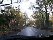
A334 - Coppermine - 4164.jpg
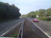
A334

Traffic lights were added because there is a crossroads just behind that red car, ironically called Blind Lane.

Originally uploaded to Coppermine on Dec 03, 2005 by MSAJohnny
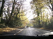
A334 - Coppermine - 4163.jpg
A334 Originally uploaded to Coppermine on Dec 03, 2005 by MSAJohnny
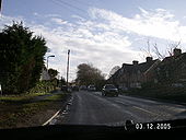
A334 in Wickham - Coppermine - 4162.jpg
A334 in Wickham Originally uploaded to Coppermine on Dec 03, 2005 by MSAJohnny
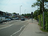
A334 Thornhill Park Road - Coppermine - 3379.JPG
A334 Thornhill Park Road

This road is a viable alternative to using the A3024 Bursledon Road, especially at midnight, because Bursledon Road is overregulated with traffic lights.

Originally uploaded to Coppermine on Aug 31, 2005 by sotonsteve
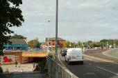
Bitterne from A334.jpg
Approaching from the A334, you can see that this is the line of the original high street. A pedestrian underpass allows it to be accessed now.
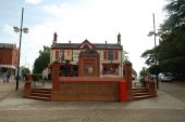
Red Lion in Bitterne.jpg
The Red Lion pub stands at the junction between what used to be the A344 to Botley - now pedestrianised - and what used to be the A3024 to Bursledon - now a quiet dead end.

The Lion statue in front of the pub has no connection to the Red Lion. It used to be on top of shops in Lion Place, about 150 yards behind the pub that in the 1840s to 1920s was the shopping heart of the village.

For views of how the pub used to look, see: http://bitterne.net/gallery/The_Lion.html.
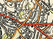
Bitterne npe.png
Bitterne from NPE map
Bitterne Bypass 6.jpg
Looking on to the A334 junction, where there is a lane drop. The A334 lane is free flowing, but the two A3024 lanes stop at traffic lights.
A334 Botley.jpg
Looking towards Botley Square along the A334.
A334 Charles Watts Way.JPG
Charles Watts Way in Hedge End.
 

SABRE - The Society for All British and Irish Road Enthusiasts
Discuss - Digest - Discover - Help