Gallery:A339

From Roader's Digest: The SABRE Wiki
Jump to navigation Jump to search
A300-A399 > A339


This gallery has no child categories
A339
 
 
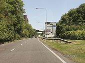
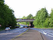
A3010 trumpet.jpg
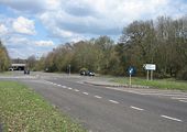
The A3010 heading eastbound, approaching the A339 trumpet. AA headquarters on the left.
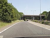
A3010 A339 trumpet.jpg
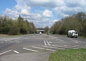
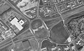
The A339/A3010 junction.
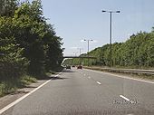
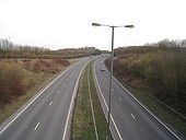
A339 Basingstoke Ring Road north.jpg
The Basingstoke Ring Road.
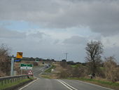
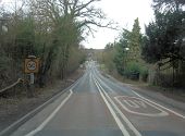
A339 Speed Camera -Shothanger Works- - Geograph - 1195049.jpg
A339 Speed Camera [Shothanger Works]
A339 heading towards Basingstoke - Geograph - 781092.jpg
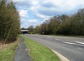
A339 heading towards Basingstoke
View from the middle - Geograph - 781098.jpg
View from the middle
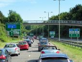
Passing under the M3 (A339) - Geograph - 818000.jpg
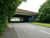
Passing under the M3 (A339)
Heading into Basingstoke - A339 - Geograph - 781039.jpg
Heading into Basingstoke - A339
The A339 and M3, Basingstoke - Geograph - 173835.jpg
The A339 and M3, Basingstoke
Basingstoke ring road - Geograph - 1688582.jpg
Basingstoke ring road
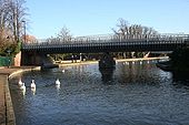
Swans on the river - Geograph - 1078126.jpg
Swans on the river
Swans swim down the River Kennet just after being fed on the far side of the bridge.
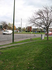
Robin Hood roundabout - Geograph - 606665.jpg
Robin Hood roundabout
The piece of public art in the centre was erected about a year ago.
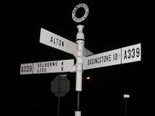
A339 Alton.JPG
A339 fingerpost in Alton
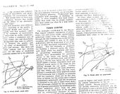
Bas+Plans+6.jpg
Plans for the redevelopment of Basingstoke roads as part of the London Overspill, as it was called then.
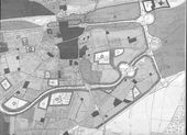
Bas+Plan.jpg
Early plans for the M3 J6 and Black Dam
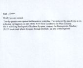
Sept 1969 - Coppermine - 19376.jpg
Sept 1969

Relief for Andover, the first major A303 bypass and also, part of Basingstoke. None of the A339 junctions were GSJ at this stage.

Originally uploaded to Coppermine on Aug 04, 2008 by SteveA30
A339 descends towards Enborne Crossing (C) Stuart Logan - Geograph - 2808050.jpg
A339 descends towards Enborne Crossing (C) Stuart Logan
The A339 is a dreadful, fast road between Newbury and Basingstoke but here it's about to leave Hampshire and cross into West Berkshire. The River Enborne defines the border at this point.
A339 old A34 Newbury.jpg
The old A34 through Newbury, having just cleared a long traffic queue on both carriageways.
Basingstoke, Ringway East - Footbridge near Black Dam Roundabout - Geograph - 4152618.jpg
Basingstoke, Ringway East - Footbridge near Black Dam Roundabout
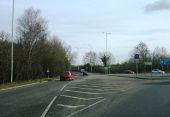
A30 to Old Basing - Geograph - 1182314.jpg
A30 to Old Basing Turning coming off the Black Dam roundabout.
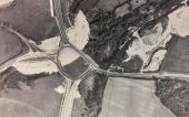
Black Dam opening.jpg
An aerial view of the Black Dam Roundabout, shortly before the M3 spur opened. Note the ring road is not finished.
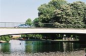
Victoria Park Bridge - Geograph - 127740.jpg
Victoria Park Bridge
Formerly the A34 by-passing Newbury town centre to the east, crossing the combined R. Kennet and Kennet & Avon Canal.
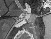
Black Dam Roundabout 1973.jpg
The Black Dam Roundabout in 1973.
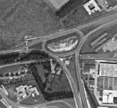
Ringway North Roundabout 1973.jpg
The temporary roundabout at Ringway North, pictured in 1973.
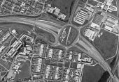
Reading Road Roundabout 1973.jpg
Reading Road Roundabout, pictured in 1973, showing the missing underpass and temporary single carriageway road.
Aldermaston Roundabout 1973.jpg
Aldermaston Roundabout, pictured in 1973, showing the missing underpass and temporary single carriageway road.
 

SABRE - The Society for All British and Irish Road Enthusiasts
Discuss - Digest - Discover - Help