Gallery:A38
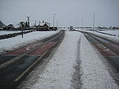
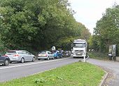
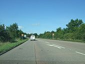
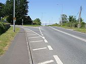
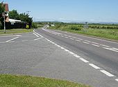
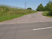
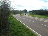
The northbound carriageway hasn't finished been surfaced yet - 11/08/05
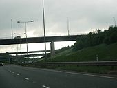
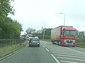
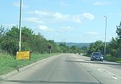
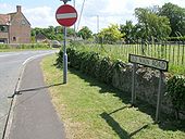
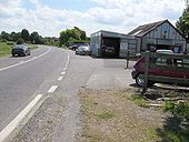
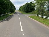
Originally uploaded to Coppermine on Aug 11, 2005 by TruveloHeading south approaching the underpass
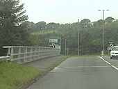
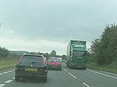
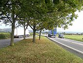
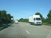
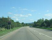
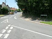
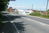
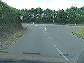
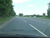
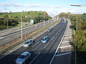
Originally uploaded to Coppermine on Aug 11, 2005 by TruveloTaken on the A38 just before it crosses the A30 Bodmin by-pass. The NSL sign ahead marks the end of the long Dobwalls to Bodmin 50 mph zone imposed for saftey reasons. The slip to the A30 westbound is behind us. At the roundabout ahead, left is just the off-slip for the A30 toward Bodmin, straight on is local roads and the A38 (now non-primary) is the right turn.
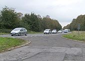
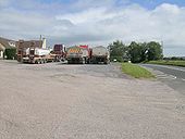
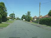
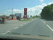
Originally uploaded to Coppermine on Jul 01, 2005 by multiraider2me and serena made a detour to get get some petrol. (On an Away day trip)
Posted by 404simon on 4/25/2004
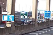
Originally uploaded to Coppermine on May 04, 2005 by M4Simoncheck out that gantry-it has a roundabout sign on it. photos have been brightened.
Posted by 404simon on 4/25/2004
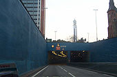
Originally uploaded to Coppermine on May 04, 2005 by M4Simonit's mostly in tunnels-here the portal to St Chad's Queensway
Posted by 404simon on 4/25/2004
Originally uploaded to Coppermine on May 04, 2005 by M4SimonThe start of the A38(M)
Posted by DadgeCity on 2/18/2005
Originally uploaded to Coppermine on Apr 29, 2005 by M4SimonThe Aston Expressway from Salford Park
Posted by DadgeCity on 2/18/2005
Originally uploaded to Coppermine on Apr 29, 2005 by M4SimonPark Circus, Aston - A38(M). I'm parked not far from the grammar school. The blue sign warns of the central lane control ahead.
Posted by DadgeCity on 10/2/2004
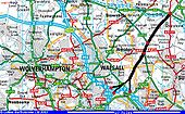
Originally uploaded to Coppermine on Apr 28, 2005 by M4SimonThis is one I've wondered about for a long time. The M5 replaced the A38 as the main road from the South West to the Midlands but it was never properly joined up with the A38 North when it got to B'ham. To my mind, this is one reason for the excess pressure on certain bits of motorway. The obvious thing to do would be to continue the M5 (perhaps as an A road - I don't know what number it could be given) straight up around Barr Beacon and across to the A38 at Wall. Was this ever planned or suggested? Dadge C Originally uploaded to Coppermine on Apr 23, 2005 by M4Simon
This page includes a scan of a non-free copyrighted map, and the copyright for it is most likely held by the company or person that produced the map. It is believed that the use of a limited number of web-resolution scans qualifies as fair use under United States copyright law, where this web page is hosted, as such display does not significantly impede the right of the copyright holder to sell the copyrighted material, is not being used to generate profit in this context, and presents information that cannot be exhibited otherwise.
If the copyright holder considers this is an infringement of their rights, please contact the Site Management Team to discuss further steps.
Oh, all right then, here are 6 out of 30 taken of the M5 closure near Bristol. Heading south towards Somerset, along a former 3 lane section.
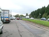
Originally uploaded to Coppermine on Oct 17, 2009 by SteveA30Near Lower Langford, in a queue caused by the lights at Churchill, nearly 2 miles away.
Originally uploaded to Coppermine on Oct 17, 2009 by SteveA30Looking north at Lower Langford. All these pics were taken 30 mins to an hour after the M5 had re-opened. This lot had struggled through Bristol and, were making slow progress southwards, to J22 and freedom.
Originally uploaded to Coppermine on Oct 17, 2009 by SteveA30Up on top of the Mendips between Churchill and Star, looking north. This is the queue for the Churchill lights at the A368, from the other direction.
Originally uploaded to Coppermine on Oct 17, 2009 by SteveA30Down to the Somerset Levels, looking north to the Mendip Hills. The A38 goes through the cleft in the hill to the left of the lorry in the layby.
Originally uploaded to Coppermine on Oct 17, 2009 by SteveA30A mobile snack bar has a bumper day, with the many diverted drivers.
Originally uploaded to Coppermine on Oct 17, 2009 by SteveA30Covered up sign, presumably stating 'New Road Layout Ahead'.
Originally uploaded to Coppermine on Sep 12, 2009 by DavidBrownOf course, the road isn't in its original state anyway, with this fairly recent 50 limit.
Originally uploaded to Coppermine on Sep 12, 2009 by DavidBrownThis is a regular sight during the week as the traffic lights at J28 often cause tailbacks this far back
Originally uploaded to Coppermine on Sep 24, 2009 by TruveloBagged up 'New Road Layout Ahead' sign.
Originally uploaded to Coppermine on Sep 12, 2009 by DavidBrownSign warning of the roadworks. They apparently started 5 days ago, but the only noticable change is the new signs.
Originally uploaded to Coppermine on Sep 12, 2009 by DavidBrownBeing bypassed isn't always the death knell for old cafes. Morgans Cafe at Burlescombe has survived 33 years without long distance traffic. Local tippers keep the place afloat, although it closes at 2.30pm.
Originally uploaded to Coppermine on Sep 02, 2009 by SteveA30Looking north at the divergence of the bypass from the original route. June 2009
Originally uploaded to Coppermine on Jul 03, 2009 by SteveA30Fairly clear evidence of its origins here.
Originally uploaded to Coppermine on Jul 03, 2009 by SteveA30Looking north into the village
Originally uploaded to Coppermine on Jul 03, 2009 by SteveA30Not bypassed on a 1926 OS map but, it is on a 1945 edition.
Originally uploaded to Coppermine on Jul 03, 2009 by SteveA30North end of the bypass, looking towards Highbridge, with the Mendip Hills in the distance.
Originally uploaded to Coppermine on Jul 03, 2009 by SteveA30Looking south at the start of the bypass. The road soon attracted roadside businesses, such as this old garage, with the former canopy clearly visible.
Originally uploaded to Coppermine on Jul 03, 2009 by SteveA30Heading south on the bypass. A perfectly preserved example of a pre-motorway Services, without a canopy and, with the Hilltops Cafe just beyond, all still open. Worth listing I would have thought. Last fuel before M5 J23
Originally uploaded to Coppermine on Jul 03, 2009 by SteveA30Looking north at the services. Other old garage visible between the signs. The M5 from J22-23 opened in August 1973, at the height of the holiday season. One day heaving with traffic, the next day... like this.
Originally uploaded to Coppermine on Jul 03, 2009 by SteveA30Where it joined the temporary A38.
Originally uploaded to Coppermine on Jun 13, 2009 by SteveA30Possible route of the 1975 off slip to the A38 south of J24. M5 behind trees on left, looking north.
Originally uploaded to Coppermine on Jun 13, 2009 by SteveA30Looking west from the off slip junction.
Originally uploaded to Coppermine on Jun 13, 2009 by SteveA30View east at the on-slip junction.
Originally uploaded to Coppermine on Jun 13, 2009 by SteveA30Turning off the A38 link.
Originally uploaded to Coppermine on Jun 13, 2009 by SteveA30View west towards the A38, from the M5 on-slip junction.
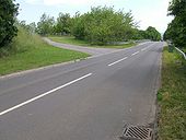
Originally uploaded to Coppermine on Jun 13, 2009 by SteveA30Junction with the dualled A38 at Thurloxton.
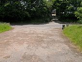
Originally uploaded to Coppermine on Jun 13, 2009 by SteveA30View north at the temp link to the M5, on the right. Did the prioritiy change to the right turn for the 5 months it carried A38 traffic?
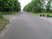
Originally uploaded to Coppermine on Jun 13, 2009 by SteveA30Looking south. A gorgeous road. Can a road be gorgeous? I think so, I mean, just look at the curves on that!
