Gallery:A4074
From Roader's Digest: The SABRE Wiki
Jump to navigation
Jump to search
A4000-A4099 > A4074
This gallery has no child categories
A4074
Incorrect
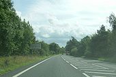
A contradictory sign, next to broken white lines, on the A4074 Dorchester-on-Thames bypass.
Originally uploaded to Coppermine on Oct 20, 2008 by SteveA30A4074
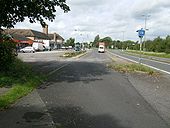
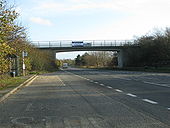
The former A423(T) Dorchester bypass, at the A415 rbt. This service area dates back to at least the 50's and, possibly earlier and, must have been one of the first such in the UK. Former garage, now a discount store, with a bike dealer beyond. Fox Diner at the far end. Sept 10 2008
Originally uploaded to Coppermine on Oct 15, 2008 by SteveA30ARSA (phew, that was close)
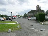
A Road Service Area, in case you were wondering. Fox Diner, another bikers hangout but, only cars on this weekday. Formerly a Little Chef, until the A423 was downgraded along with many other A roads in 1991, after the M40 extension opened. The whole place has an air of having seen better days.
Originally uploaded to Coppermine on Oct 15, 2008 by SteveA30Ice House Hill
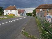
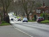
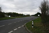
Ice house hill named after the Ice House that used to be here but was removed when the road was straightened. An ancient burial was found not far from here.
Ice house hill named after the Ice House that used to be here but was removed when the road was straightened. An ancient burial was found not far from here.
Signs ahead
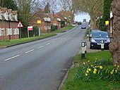
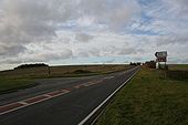
Couple of road signs in the distance inform you of which way to go at the crossroads on Port Way.
Couple of road signs in the distance inform you of which way to go at the crossroads on Port Way.
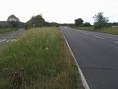
Port Way
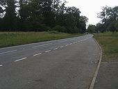
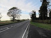
The road is called Port Way though the road number is the A4074. This road is quite a dangerous one due to the speed people drive at.
The road is called Port Way though the road number is the A4074. This road is quite a dangerous one due to the speed people drive at.
Caversham
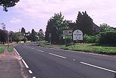
Entering the Borough of Reading on the A4074 from Oxford. A much warmer welcome than that in SU7169 (qv)! The drive from Oxford via Wallingford across the downs is quite delightful.
Entering the Borough of Reading on the A4074 from Oxford. A much warmer welcome than that in SU7169 (qv)! The drive from Oxford via Wallingford across the downs is quite delightful.
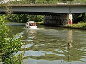
Thames at Isis Bridge
The bridge carries the A423, the ring road circling Oxford to the south, across the river. Seen from the Thames Path.
The bridge carries the A423, the ring road circling Oxford to the south, across the river. Seen from the Thames Path.
Hidden categories:
