Gallery:A411
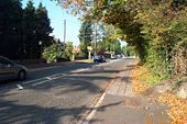
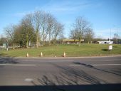
Hempstead Road junction with Langley Road. The Eleco's were still there in 2007.
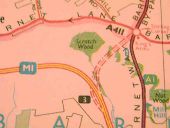
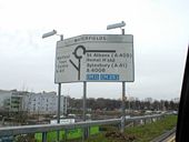
Originally uploaded to Coppermine on Feb 02, 2008 by TruveloOriginal plan for junction 3, now Scratchwood services. This plan doesnt have it as a roundabout junction Originally uploaded to Coppermine on Apr 14, 2005 by Jonathan B4027
This page includes a scan of a non-free copyrighted map, and the copyright for it is most likely held by the company or person that produced the map. It is believed that the use of a limited number of web-resolution scans qualifies as fair use under United States copyright law, where this web page is hosted, as such display does not significantly impede the right of the copyright holder to sell the copyrighted material, is not being used to generate profit in this context, and presents information that cannot be exhibited otherwise.
If the copyright holder considers this is an infringement of their rights, please contact the Site Management Team to discuss further steps.
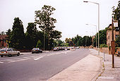
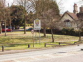
On Hempstead Road, just south of Hunton Bridge Interchange on the A411. View east to Russell Lane. The sign with coat of arms of Watford is just inside the boundary of Watford, which runs across the roundabout of the interchange.
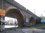
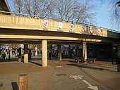
The High Street is pedestrianized. The flyover was built in 1972 and allows traffic from the A411 Exchange Road to reach Beechen Grove (one-way from left to right in this photograph). The coats of arms of Watford and its five twin towns are on the flyover parapet. They are, from left to right, Mainz, Nanterre, Novgorod, Watford, Pesaro and Wilmington. The twinning with Novgorod, which happened in 1984, met with some local opposition and the forming of the WART group (Watford Against Russian Twinning!).
