Gallery:A4124

From Roader's Digest: The SABRE Wiki
Jump to navigation Jump to search
A4100-A4199 > A4124


This gallery has no child categories
A4124
 
 
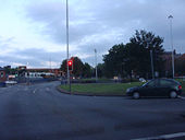
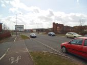
A4150 - 18.jpg
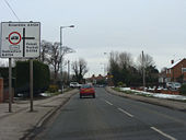
Broad Street Junction, A4150 and A4124 from clockwise carriageway.
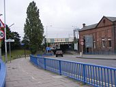
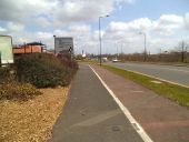
Wednesfield Road Bridge.jpg
Terminus of A4124 at Broad Street Junction, Wolverhampton.
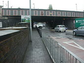
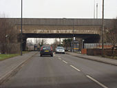
Wolverhampton, railway bridge.jpg
A4124 Wednesfield Road looking west at West Coast Mainline bridge
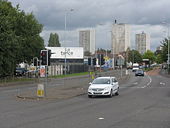
A4124 Wednesfield Road at Sun Street traffic lights.jpg
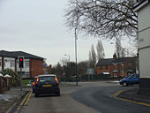
A4124 Wednesfield Road at Sun Street traffic lights, looking east
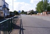
A4124 Towards Heath Town, Wolverhampton.jpg
A4124 Wednesfield Road Towards Heath Town, Wolverhampton
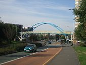
Footbridge over A4124 Wednesfield Road.jpg
Footbridge over A4124 Wednesfield Road, Wolverhampton
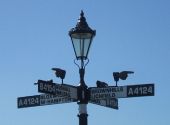
A4124 - 01.JPG
Pre-Worboys local signage on A4124 in Wednesfield, Wolverhampton. Removed July 2010, and is believed to have been the last pre-worboys directional sign extant in Wolverhampton. Sign was donated by Wolverhampton City Council to Steven upon removal.
A4124 - 04.JPG
M6 bridge over A4124, Staffordshire.
A4124 - 02.JPG
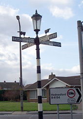
Eastbound ADS for The Fingerpost, A4124/B4154 junction, Pelsall, Staffordshire
A4124 - 03.JPG
Junction of A4124 and A34, Bloxwich, Staffordshire, looking east. Photo shows offset nature of junction
The Brownhills Miner - Geograph - 188792.jpg
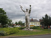
The Brownhills Miner
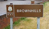
Brownhills.jpg
Welcome to Brownhills, A4124
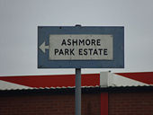
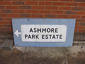
Ashmore park sign.jpg
Pre-Worboys directional signage for Ashmore Park Estate, Wolverhampton. Rescued on 17.7.2010
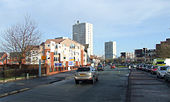
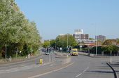
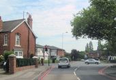
Wednesfield Road, Wolverhampton - Geograph - 2643042.jpg
A4124 Wednesfield Road, Wolverhampton
Bowmans Harbour Island.jpg
Bowmans Harbour Island (C) Gordon Griffiths
The view down New Cross Avenue over the Wyrley and Essington Canal at Bentley Bridge Wednesfield.
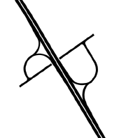
Short Heath Interchange.png
Plans for the M6 during the late 1950s show an additional junction between J10 and J10a
Bentleybridge Island - Geograph - 3414187.jpg
Bentleybridge Island The view down Wednesfield Way next to Bentley Bridge Retail Park.
March End Road - Geograph - 4619389.jpg
U99 March End Road, Wednesfield. Looking west from A4124 Lakefield Road.
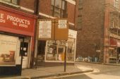
Broad St Pre Worboys.jpg
Pre-Worboys signage historically located in Broad Street, Wolverhampton heading towards Princes Square.
The Fingerpost, Pelsall Wood - Geograph - 839288.jpg
The Fingerpost, Pelsall Wood A local landmark on the Wolverhampton to Lichfield Road.
Cross roads near Wallington Heath Bloxwich - Geograph - 2448315.jpg
Cross roads near Wallington Heath Bloxwich Junction of A4124 and A34 by the Bell Inn. Viewed from eastbound A4124
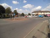
Lichfield Road Island - Geograph - 4610635.jpg
Wood End Island The view in Wednesfield, Wolverhampton.
IMG 6662.JPG wednesfield roundabout.jpg
Wednesfield Way, approaching the roundabout.
New Bentley Bridge - Geograph - 334396.jpg
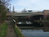
New Bentley Bridge This bridge over the Wyrley and Essington Canal was built as a link between the new Wednesfield Way and New Cross Hospital.
Heathtown, New Bentley Bridge - Geograph - 2241017.jpg
Heathtown, New Bentley Bridge Dated 1986, taking New Cross Avenue across Wyrley and Essington Canal; behind it, the much older brick New Cross Bridge.
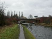
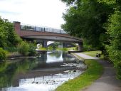
Heath Town Bridge - Geograph - 4543722.jpg
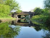
Heath Town Bridge This spans The Wyrley and Essington Canal.
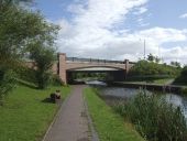
Wyrley & Essington Canal - Heath Town Bridge - Geograph - 916273.jpg
Wyrley & Essington Canal - Heath Town Bridge Neat modern canal bridge carrying Wednesfield Way.
Castle Bridge, from the south - Geograph - 5793028.jpg
Castle Bridge, from the south With a pipe bridge directly in front of it. The bridge carries the Lichfield Road A4124 over the Wyrley and Essington Canal.
 

SABRE - The Society for All British and Irish Road Enthusiasts
Discuss - Digest - Discover - Help