Gallery:A414
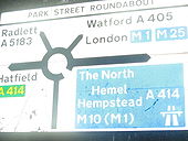
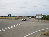
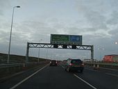
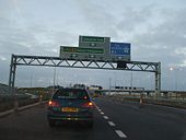
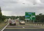
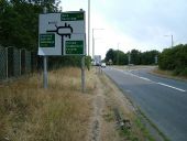
What is the number of the road to the right? Two of the three numbers are unbracketed. This is the A5183 approaching the junction from the north - the sign on the A405 approach has a similar treatment.
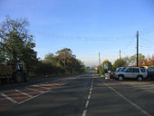
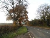
Originally uploaded to Coppermine on Dec 06, 2008 by t1(M)Looking South in the direction of Danbury and Chelmsford
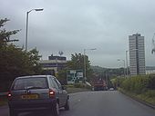
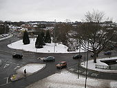
Originally uploaded to Coppermine on Aug 19, 2009 by AdamB1197Approaching the Magic Roundabout in Hemel Hempstead.
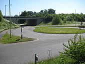
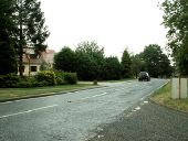
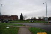
Originally uploaded to Coppermine on May 27, 2006 by BigToeThis is looking towards Hatfield at the roundabout that seperates Sleapshyde from Colney Heath.
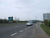
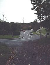
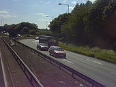
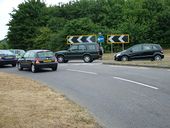
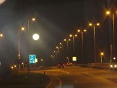
Originally uploaded to Coppermine on May 25, 2006 by BigToeTwo cars overtake a bus on an elongated roundabout on the A414.
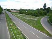
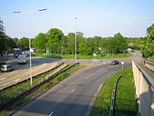
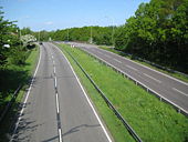
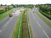
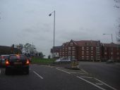
Originally uploaded to Coppermine on May 25, 2006 by BigToeThis view was taken looking from the footbridge over the road at Jarman Park towards the Jarman Park roundabout. There is a slip road on the left for eastbound A414 traffic that avoids the roundabout.
Hemel's Magic Roundabout was constructed in 1973, a year after its counterpart in Swindon. It is formally known as The Plough Roundabout or Moor End Roundabout. Despite their reputation these roundabouts work well and it is doubtful if any driver using them regularly would think twice about them. The River Gade flows through the middle. This is an accidental retake from the same viewpoint of Giles' <a href='http://www.geograph.org.uk/photo/377720'>TL0506 : Hemel Hempstead's 'Magic Roundabout'</a>. The one major change that seems to have taken place is the reconfiguration of the junction arrangements with the road boottom right.
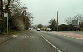
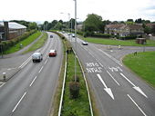
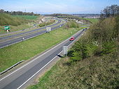
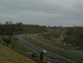
The slip road off the northbound carriageway peels off on the left here to <a href='http://www.geograph.org.uk/photo/1345170'>TL0405 : Hemel Hempstead: A414 road at the A41 junction</a>. Since this is an A road and not a motorway there is a crossing facility complete with a couple of Give Way signs to enable cyclists to cross over the slip road and carry on along the main carriageway. The two white squares in the main carriageway are markers for use by the Police using VASCAR (Visual Average Speed Computer And Recorder) methods. There will be another set of marks either prior to these, or ahead of them, at a known distance, such that, if a vehicle can be timed between the two marks, usually by helicopter, its average speed can be simply computed.
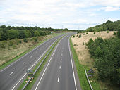
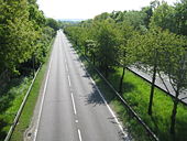
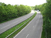
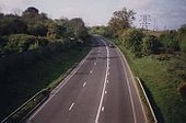
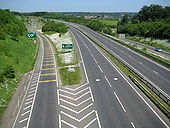
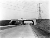
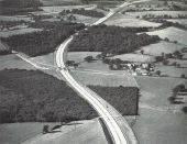
Viewed from the Featherbed Lane overbridge looking towards the junction with the spur road to Hemel Hempstead, the bypass was built in 1993.
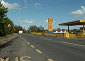
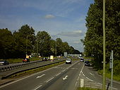
Viewed from the B1502. The traffic is queueing to get into a car boot sale in Hillside Farm just off the B181.
The last single carriageway section of the A1 between the North Circular Road and the Tyne Tunnel Originally uploaded to Coppermine on Nov 18, 2008 by t1(M)
This page includes a scan of a non-free copyrighted map, and the copyright for it is most likely held by the company or person that produced the map. It is believed that the use of a limited number of web-resolution scans qualifies as fair use under United States copyright law, where this web page is hosted, as such display does not significantly impede the right of the copyright holder to sell the copyrighted material, is not being used to generate profit in this context, and presents information that cannot be exhibited otherwise.
If the copyright holder considers this is an infringement of their rights, please contact the Site Management Team to discuss further steps.
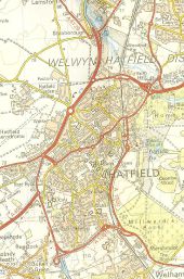
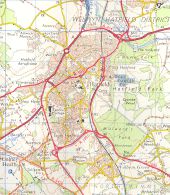
Wow. The B6426 is still the A1057, the Great North Road goes over the railway bridge still (I think), the A1(M) stops at a roundabout :O and what seems to be the A1 continues south. The Alban way is still the old railway and down in Colney Heath... wait, that's the B6426! Seems they just moved it up to the A1057 when they downgraded it, as the then B6426 is now unclassified. Just look at all those minor roads joining the A1(?)... Hatfield's changed quite a bit since then.
Thanks Steven for emailing this to me :D
Originally uploaded to Coppermine on Sep 08, 2006 by BigToe
This page includes a scan of a non-free copyrighted map, and the copyright for it is most likely held by the company or person that produced the map. It is believed that the use of a limited number of web-resolution scans qualifies as fair use under United States copyright law, where this web page is hosted, as such display does not significantly impede the right of the copyright holder to sell the copyrighted material, is not being used to generate profit in this context, and presents information that cannot be exhibited otherwise.
If the copyright holder considers this is an infringement of their rights, please contact the Site Management Team to discuss further steps.
OP Jonathan Originally uploaded to Coppermine on Apr 21, 2005 by M4Simon
This page includes a scan of a non-free copyrighted map, and the copyright for it is most likely held by the company or person that produced the map. It is believed that the use of a limited number of web-resolution scans qualifies as fair use under United States copyright law, where this web page is hosted, as such display does not significantly impede the right of the copyright holder to sell the copyrighted material, is not being used to generate profit in this context, and presents information that cannot be exhibited otherwise.
If the copyright holder considers this is an infringement of their rights, please contact the Site Management Team to discuss further steps.
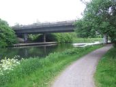
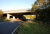
The River Lea (or Lee) near St. Margaret's, in Hertfordshire. The concrete bridge carries the trunk A414 road across the river.
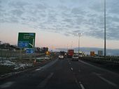
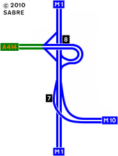
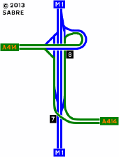
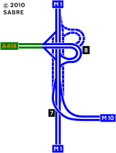
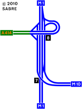
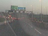
Approaching from Hemel it is already (Dec 6th) possible to access the St Albans bypass without using the main carriageway of the M1. The signs here give no mention of the M10.
(Apologies for poor quality - it was getting dark and there was no time for a second attempt)
Originally uploaded to Coppermine on Dec 06, 2008 by t1(M)