Gallery:A429

From Roader's Digest: The SABRE Wiki
Jump to navigation Jump to search
A400-A499 > A429


This gallery has no child categories
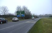
A429
 
 
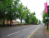
A429-B4113 Coventry - Coppermine - 13834.jpg
A429-B4113 Coventry

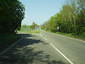
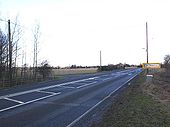
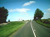
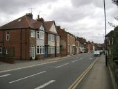
South looking view of the A429 near the War Memorial Park where the B4113 diverges to the left as Leamington Road and the A429 Kenilworth Road goes right. Early morning before the traffic has built up.

Originally uploaded to Coppermine on Jul 11, 2007 by leekman
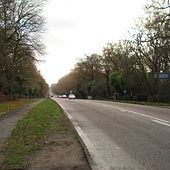
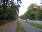
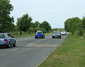
A429 Kenilworth Road Coventry - Coppermine - 19050.jpg
A429 Kenilworth Road Coventry

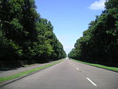
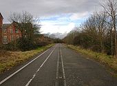
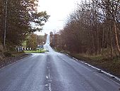
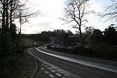
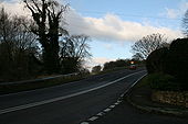
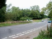
North east view from the A429/Gibbet Hill Road/Stoneleigh Road cross roads showing the A429 rising in the distance towards the A45 cross roads and Coventry. This is a nice view early on a sunny morning and again its quite good in the autumn when the leaves are different colours. 11 July 2008

Originally uploaded to Coppermine on Jul 11, 2008 by leekman
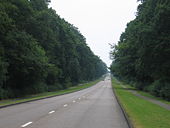
A429 Fosse Way Halford - Coppermine - 17979.jpg
A429 Fosse Way Halford

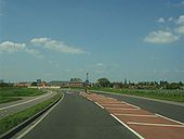
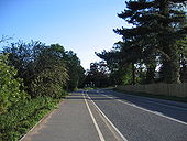
North easterly view of the A429 Fosse Way just north east of Halford village where the A429 bears left at the roundabout and the B4455 Fosse Way continues into the distance climbing towards its next offset crossroads at the A422 Ettington junction about one mile away. 6 May 2008

Originally uploaded to Coppermine on May 07, 2008 by leekman
A429 Barford Bypass Wellesbourne End - Coppermine - 17978.jpg
A429 Barford Bypass Wellesbourne End

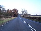
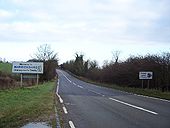
Northerly view along the recently opened A429 Barford Bypass towards Longbridge showing the turn off to Barford and the original A429 route on a nice sunny afternoon. 6 May 2008

Originally uploaded to Coppermine on May 07, 2008 by leekman
A429 Junction With A45 Coventry - Coppermine - 11828.jpg
A429 Junction With A45 Coventry

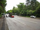
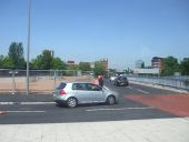
North east looking view along the A429 Kenilworth Road at its junction with the A45 Fletchamstead Highway to the left and Kenpas Highway to the right on Coventrys bypass which is currently being refurbished. May 17 2007

Originally uploaded to Coppermine on May 17, 2007 by leekman
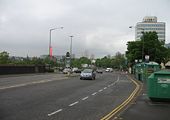
A429 Gibbet Hill.jpg
The A429 between Kenilworth and Coventry
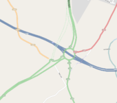
OSM Oct 2009 Longbridge Island.png
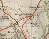
OS 1953 Longbridge Island.jpg
Longbridge Island, 1953 This page contains scans from a map that is believed may be out of copyright according to UK Crown Copyright, UK Copyright Law for other maps published in the United Kingdom, or Irish Government Copyright, is not being used to generate profit in this context, and presents information that cannot be exhibited otherwise.
If the copyright holder considers this is an infringement of their rights, please contact the site management team to discuss further steps.
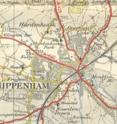
Chippenham-1958.jpg
Chippenham in 1958 when the A429 still reached the town This page contains scans from a map that is believed may be out of copyright according to UK Crown Copyright, UK Copyright Law for other maps published in the United Kingdom, or Irish Government Copyright, is not being used to generate profit in this context, and presents information that cannot be exhibited otherwise.
If the copyright holder considers this is an infringement of their rights, please contact the site management team to discuss further steps.
Warwick Road - Geograph - 805850.jpg
Warwick Road
Warwick Road - Geograph - 805876.jpg
Warwick Road
A429 Kenilworth Road - Geograph - 759847.jpg
A429 Kenilworth Road
Kenilworth Road - Geograph - 601843.jpg
Kenilworth Road
Kenilworth Road, Coventry - Geograph - 30037.jpg
Kenilworth Road, Coventry
Lay-by, north of M4 junction 17 - Geograph - 300447.jpg
Lay-by, north of M4 junction 17
A429 near Lower Stanton St. Quintin - Geograph - 1407336.jpg
A429 near Lower Stanton St. Quintin
The old bridge from the new bridge - Geograph - 1686645.jpg
The old bridge from the new bridge
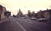
High Street, Moreton in Marsh - Geograph - 1710672.jpg
High Street, Moreton in Marsh
Turn for Wasperton from A429 - Geograph - 1719277.jpg
Turn for Wasperton from A429
The old Warwick Road, Wellesbourne - Geograph - 1727704.jpg
The old Warwick Road, Wellesbourne
Stratford Road, Longbridge - Geograph - 13350.jpg
Stratford Road, Longbridge
Turn left for Loxley - Geograph - 88728.jpg
Turn left for Loxley
Fosse Way Junction - Geograph - 86749.jpg
Fosse Way Junction
The County Boundary at Paddle Brook - Geograph - 88703.jpg
The County Boundary at Paddle Brook
The Inn On The Marsh - Geograph - 1700713.jpg
The Inn On The Marsh
Fosse Way junction - Geograph - 1341330.jpg
Fosse Way junction
Road junction ahead - Geograph - 1625052.jpg
Road junction ahead
A40-Fosse Way roundabout - Geograph - 190203.jpg
A40-Fosse Way roundabout
The A429 Fosse Way - Geograph - 257119.jpg
The A429 Fosse Way
Dip in the Fosse Way - Geograph - 1483337.jpg
Dip in the Fosse Way
Turning to Yanworth - Geograph - 1483267.jpg
Turning to Yanworth
A429 at Fossebridge - Geograph - 1093098.jpg
A429 at Fossebridge
A429 at Fossebridge - Geograph - 1093106.jpg
A429 at Fossebridge
Steep hill ahead - Geograph - 1481999.jpg
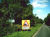
Steep hill ahead
Speed on the Fosse Way - Geograph - 293437.jpg
Speed on the Fosse Way
Site of Smerrill Aqueduct - Geograph - 1206821.jpg
Site of Smerrill Aqueduct
A429 in Crudwell - Geograph - 1034625.jpg
A429 in Crudwell
A429 towards Malmesbury - Geograph - 909229.jpg
A429 towards Malmesbury
The road heads basically north from the M4 to the ancient town of Malmesbury about six kilometres further on.
The railway crosses the A429 - Geograph - 1107594.jpg
The railway crosses the A429
Milestone - Geograph - 234450.jpg
Milestone
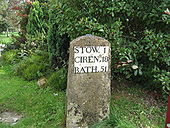
The milestone beside the Fosse Way just south of the junction with the road to Burford.
Old and new - Geograph - 1197660.jpg
Old and new
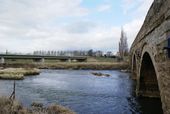
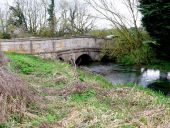
The old road bridge into Barford alongside the new bypass bridge.
Bridge over the River Thames (C) Philip Halling - Geograph - 2378305.jpg
Bridge over the River Thames (C) Philip Halling
This is the first bridge of note over the River Thames. It carries the A429 into Kemble and also used to carry the railway which was closed in the 1960s.
Bourton Bridge (C) Michael Dibb - Geograph - 2000363.jpg
Bourton Bridge (C) Michael Dibb
The bridge carries the Fosse Way (A429) over the River Windrush.
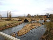
Fosse Bridge (C) Nigel Mykura - Geograph - 2608512.jpg
Fosse Bridge (C) Nigel Mykura
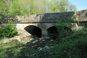
This small stone three arched bridge is tucked in the very north west corner of the grid square and it marks where the River Windrush is bridged by the Fosse Way the A429.
CoventryJ6005.JPG
Clockwise on-slip at Ringway J6
Geograph-3588827-by-Robin-Stott.jpg
North side of St Nicholas Church Street
Houses in the street (which extends into SP2865) date from several centuries.
Old A40 - Coppermine - 10146.jpg
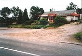
Old A40

Little Chef, Northleach, Glos. at crossroads of A429, by the trees and, old A40 in foreground. Now replaced by housing. 19/7/98.

Originally uploaded to Coppermine on Feb 04, 2007 by SteveA30
A-board and passing bay at the turn in to the Saxon Mill - Geograph - 1571116.jpg
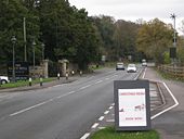
A-board and passing bay at the turn in to the Saxon Mill
 
 
Page 1, 48 file(s) of 55 shown
Page 1 2

SABRE - The Society for All British and Irish Road Enthusiasts
Discuss - Digest - Discover - Help