Gallery:A454
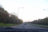
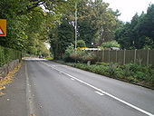
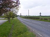
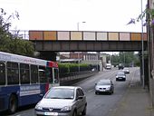
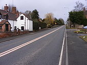
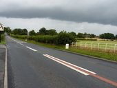
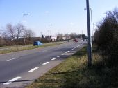
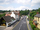
The Keyway-this is a good bit of this was-going-to-be-motorway
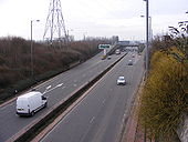
Posted by 404simon on 4/25/2004looking at it again-how did i fall for it. That's 90% of the 'motorway' there
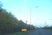
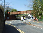
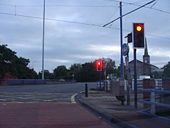
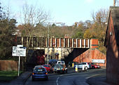
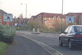
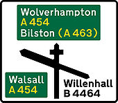
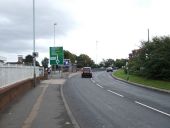
Posted by 404simon on 4/25/2004We should have these at motorway gore perhaps, instead of the piddily gore signs. This is the only signage for this junction however (it's on the A454 near the M6)
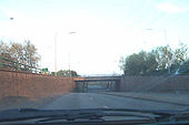
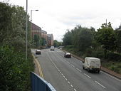
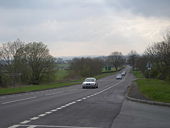
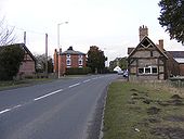
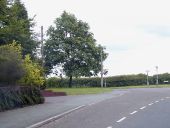
Posted by 404simon on 4/25/2004coming up to the start of the truly pathetic motorway (due to it being an April Fool's joke and not a motorway)
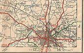
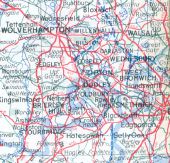
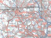
Posted by 404simon on 4/25/2004This (from the 1963 Geographers' atlas again) must have been soon after the Bilston motorway was dreamt up. Originally uploaded to Coppermine on Apr 10, 2007 by FosseWay
This page includes a scan of a non-free copyrighted map, and the copyright for it is most likely held by the company or person that produced the map. It is believed that the use of a limited number of web-resolution scans qualifies as fair use under United States copyright law, where this web page is hosted, as such display does not significantly impede the right of the copyright holder to sell the copyrighted material, is not being used to generate profit in this context, and presents information that cannot be exhibited otherwise.
If the copyright holder considers this is an infringement of their rights, please contact the Site Management Team to discuss further steps.
If you look very carefully, it's still there, still proposed... but not a motorway. AA Book of the Road 1974 Originally uploaded to Coppermine on Apr 10, 2007 by FosseWay
This page includes a scan of a non-free copyrighted map, and the copyright for it is most likely held by the company or person that produced the map. It is believed that the use of a limited number of web-resolution scans qualifies as fair use under United States copyright law, where this web page is hosted, as such display does not significantly impede the right of the copyright holder to sell the copyrighted material, is not being used to generate profit in this context, and presents information that cannot be exhibited otherwise.
If the copyright holder considers this is an infringement of their rights, please contact the Site Management Team to discuss further steps.
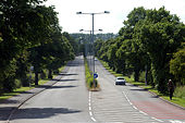
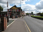
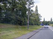
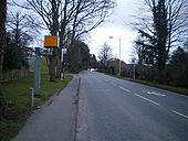
These charming old concrete columns have since been sleeved and now have fluorescent lanterns
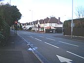
Originally uploaded to Coppermine on Jan 23, 2008 by TruveloNotice the 40mph and NSL sign on the lampost. The mercury lanterns have now bitten the dust.
Originally uploaded to Coppermine on Jan 23, 2008 by TruveloThe concrete columns have been sleeved and most of them now have fluorescent lanterns
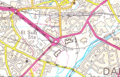
Originally uploaded to Coppermine on Jan 23, 2008 by TruveloTaken from OS Landranger sheet 139 (Birmingham and Wolverhampton), revision A//*/*/*/*; published Feb 1987.
This page includes a scan of a non-free copyrighted map, and the copyright for it is most likely held by the company or person that produced the map. It is believed that the use of a limited number of web-resolution scans qualifies as fair use under United States copyright law, where this web page is hosted, as such display does not significantly impede the right of the copyright holder to sell the copyrighted material, is not being used to generate profit in this context, and presents information that cannot be exhibited otherwise.
If the copyright holder considers this is an infringement of their rights, please contact the Site Management Team to discuss further steps.
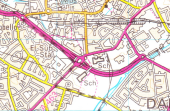
Taken from OS Landranger sheet 139 (Birmingham and Wolverhampton), revision B; published July 1990.
This page includes a scan of a non-free copyrighted map, and the copyright for it is most likely held by the company or person that produced the map. It is believed that the use of a limited number of web-resolution scans qualifies as fair use under United States copyright law, where this web page is hosted, as such display does not significantly impede the right of the copyright holder to sell the copyrighted material, is not being used to generate profit in this context, and presents information that cannot be exhibited otherwise.
If the copyright holder considers this is an infringement of their rights, please contact the Site Management Team to discuss further steps.
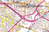
Taken from OS Landranger sheet 139 (Birmingham and Wolverhampton), revision B2; published July 1994.
This page includes a scan of a non-free copyrighted map, and the copyright for it is most likely held by the company or person that produced the map. It is believed that the use of a limited number of web-resolution scans qualifies as fair use under United States copyright law, where this web page is hosted, as such display does not significantly impede the right of the copyright holder to sell the copyrighted material, is not being used to generate profit in this context, and presents information that cannot be exhibited otherwise.
If the copyright holder considers this is an infringement of their rights, please contact the Site Management Team to discuss further steps.
