Gallery:A672

From Roader's Digest: The SABRE Wiki
Jump to navigation Jump to search
A600-A699 > A672


This gallery has no child categories
A672
 
 
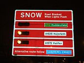
A672 snow.JPG
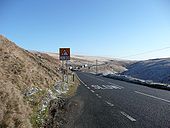
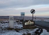
The original A672 Snow Warning Sign at Denshaw (since replaced).
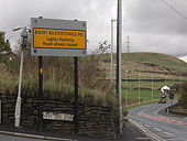
A collection of signs on the A672 - Geograph - 97127.jpg
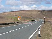
A collection of signs on the A672
Snow road sign at Grains Bar - Geograph - 1555360.jpg
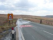
Snow road sign at Grains Bar
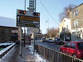
A58 sowerby snow.JPG
Snow Warning Sign on the A58 in Sowerby Bridge
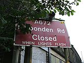
The A672 Ripponden Road - Geograph - 1651103.jpg
The A672 Ripponden Road
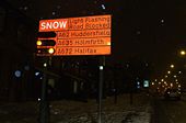
Snow a62 001.JPG
Failsworth Snow Warning Sign
Snow a62 002.JPG
Oldham Snow Warning Sign
Img 487.jpg
A672 LED catseyes at Oxygrains Bridge
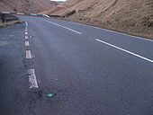
A672 1.jpg
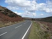
The A672 approaching the M62.
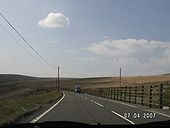
A672 2.jpg
Heading east on the A672, with Scammonden Bridge in the background.
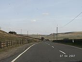
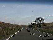
A672 3.jpg
Heading east along the A672, not long after the M62.
A672 very dark.JPG
A672 LED studs in nighttime fog
B6113 Ripponden New Bank.jpg
Entering Ripponden on the B6113.
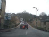
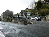
A672 junction - Coppermine - 17795.JPG
A58 / A672 junction

Ripponden

Originally uploaded to Coppermine on Apr 16, 2008 by Schult
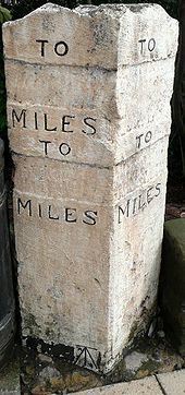
Neither Use Nor Ornament - Coppermine - 17778.JPG
Neither Use Nor Ornament

Milepost at Ripponden in West Yorkshire at junction of A58 / A672 / B6113. The place names were chiseled off during the war to confuse the Germans, then kept that way to confuse Lancastrians.

Originally uploaded to Coppermine on Apr 15, 2008 by Schult
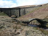
A672 Packhorse bridge - Coppermine - 17627.JPG
A672 Packhorse bridge

Packhorse bridge at Oxygrains. The 18th century bridge carrying the A672 beyond. To all but truck drivers and pedestrians, this bridge can't be seen from the road.

Originally uploaded to Coppermine on Apr 05, 2008 by Schult
A672 just off Junction 22, M62. - Coppermine - 17626.JPG
A672 just off Junction 22, M62. Originally uploaded to Coppermine on Apr 05, 2008 by Schult
A672 Oldham Road - Coppermine - 17625.JPG
A672 Oldham Road

The old turnpike of 1795 closely follows the older packhorse route. At the bend and off to the right is the packhorse bridge at Oxygrains.

Originally uploaded to Coppermine on Apr 05, 2008 by Schult
Think - Coppermine - 17624.JPG
Think

A672 North of Denshaw.

Originally uploaded to Coppermine on Apr 05, 2008 by Schult
Think again - Coppermine - 17623.JPG
Think again

A672 Ripponden Road at Bleakedgate

Originally uploaded to Coppermine on Apr 05, 2008 by Schult
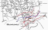
Packhorse route map - Coppermine - 17608.JPG
Packhorse route map

Fragment of map based on 2 seperate C18th maps, this map details the 'ancient highways' of the Pennines.

Some are easy to identify, others lost forever. Some bits of these routes are now A Roads, others bridleways and footpaths. I've painted over the 4 current turnpike routes of the South Pennines plus the M62.

Thanks to the South Pennine Packhorse Trails Trust for use of the map, where the original can be found without my scribbles all over it.

Originally uploaded to Coppermine on Apr 05, 2008 by Schult
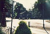
A640 Saddleworth, Summer 1984. - Coppermine - 17444.jpg
A640 Saddleworth, Summer 1984.

Junction of A672, A6052 and A640 at Denshaw. Taken from inside the Junction Inn.

Originally uploaded to Coppermine on Mar 29, 2008 by Schult
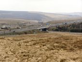
M62 Rocking Stones Junction 22 - Geograph - 1802712.jpg
M62 Rocking Stones Moss Junction 22 Junction 22 of the M62 commonly referred to as 'Rocking Stones Moss' junction (see [[[714160]]]). Looking eastwards, from Rook Stone Hill.
 

SABRE - The Society for All British and Irish Road Enthusiasts
Discuss - Digest - Discover - Help