Gallery:A702

From Roader's Digest: The SABRE Wiki
Jump to navigation Jump to search
A700-A799 > A702


This gallery has no child categories
A702
 
 
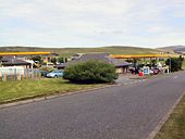
Abington Service Station.jpg
Abington Service Station
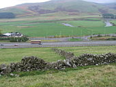
The M74 motorway, the A702 and the River Clyde near.jpg
The M74 motorway, the A702 and the River Clyde near
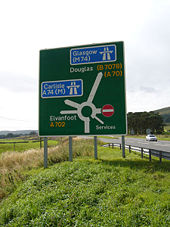
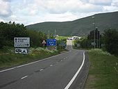
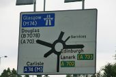
A702, M74 and A74(M) Road sign.jpg
A702 / M74 and A74(M) Road sign
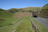
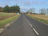
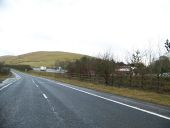
The Dalveen Pass - Geograph - 1420276.jpg
The Dalveen Pass
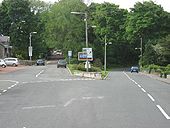
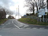
A702 junction,Kirkland - Geograph - 556890.jpg
B729/A702 junction,Kirkland
A702 Biggar Bypass - Coppermine - 1407.jpg
A702 Biggar Bypass

The A702 is a key route from Edinburgh to the south. Which is the best way to bypass Biggar, Coulter and Lamington?

Posted by DadgeCity on 3/1/2004 
Originally uploaded to Coppermine on Apr 23, 2005 by M4Simon
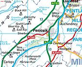
A702 penicuik1 - Coppermine - 1404.jpg
A702 penicuik1

Of course it wouldn't be too hard to dual the 702 on its current course NW of Penicuik, but there's something to be said for rerouting it onto the 701 as it arrives at the Edinburgh bypass.

Posted by DadgeCity on 3/1/2004

Originally uploaded to Coppermine on Apr 23, 2005 by M4Simon
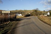
Entering Moniaive from the southwest - Geograph - 1706484.jpg
Entering Moniaive from the southwest
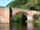
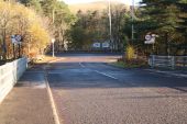
A road sign near Kirkland Bridge - Geograph - 1725933.jpg
A road sign near Kirkland Bridge
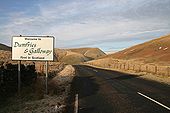
Welcome to Dumfries & Galloway - Geograph - 1728319.jpg
Welcome to Dumfries & Galloway
3 Generations of A74, Crawford - Coppermine - 18522.JPG
3 Generations of A74, Crawford

Just north of Crawford, original alignment straight ahead, 1960s (where the silver Porsche is) to the left, and 1990s A74(M) further left

Originally uploaded to Coppermine on Jun 16, 2008 by leopard680
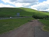
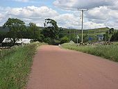
Original A74, north of Crawford - Coppermine - 18519.JPG
Original A74, north of Crawford

Just to the north of Crawford, this old alignment remains in use as access to a farm and a BT building. 1960s alignment to the right and 1990s A74(M) to the right of that. Quite a lot of the 1920s/30s A74 seems to have been surfaced in this red tar surface. Perhaps a local stone but does anyone know if there was a more practical reason for this?

Originally uploaded to Coppermine on Jun 16, 2008 by leopard680
Original A74, crawford - Coppermine - 18516.JPG
Original A74, crawford

To the south of Crawford village, this old alignment is visible going across a field, and then over the West Coast Main Line. 1960s alignment to the right

Originally uploaded to Coppermine on Jun 16, 2008 by leopard680
Original A74, Crawford - Coppermine - 18515.JPG
Original A74, Crawford

Looking south from a little further back, the original alignment exits Crawford behind my car (blue one), whilst the other car is about to meet the junction with the 1960s alignment

Originally uploaded to Coppermine on Jun 16, 2008 by leopard680
Original A74 crossing WCML, Crawford - Coppermine - 18514.JPG
Original A74 crossing WCML, Crawford

The old alignment would've crossed the West Coast Main Line here

Originally uploaded to Coppermine on Jun 16, 2008 by leopard680
Original A74, south of Crawford - Coppermine - 18513.JPG
Original A74, south of Crawford

Looking north towards Crawford village

Originally uploaded to Coppermine on Jun 16, 2008 by leopard680
A702 (old A74) Crawford - Coppermine - 18512.JPG
A702 (old A74) Crawford

The old A74 is the A702 between here & Abington

Originally uploaded to Coppermine on Jun 16, 2008 by leopard680
Old A74, Abington - Coppermine - 18388.JPG
Old A74, Abington

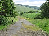
This was the old junction at Abington, looking north. Glasgow A74 to the left, Edinburgh to the right. Now the road up to the left is just a stub, and the road to the right goes up to the roundabout at Abington service area.

Originally uploaded to Coppermine on Jun 10, 2008 by leopard680
Bridge over the River Nith (1) - Geograph - 533019.jpg
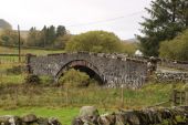
Bridge over the River Nith (1)
Very fine weather, and a temperature of around 23C.
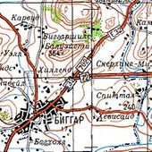
Soviet 4.jpg
E32 on Soviet map

This page includes a scan of a non-free copyrighted map, and the copyright for it is most likely held by the company or person that produced the map. It is believed that the use of a limited number of web-resolution scans qualifies as fair use under United States copyright law, where this web page is hosted, as such display does not significantly impede the right of the copyright holder to sell the copyrighted material, is not being used to generate profit in this context, and presents information that cannot be exhibited otherwise.
If the copyright holder considers this is an infringement of their rights, please contact the Site Management Team to discuss further steps.

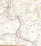
Abington area (northern section), 1956 - Coppermine - 16934.jpg
A74 in the Moffat/Abington area (northern section), 1956

OS 1' 7th series, edition A (1956) Originally uploaded to Coppermine on Feb 14, 2008 by FosseWay

This page contains scans from a map that is believed may be out of copyright according to UK Crown Copyright, UK Copyright Law for other maps published in the United Kingdom, or Irish Government Copyright, is not being used to generate profit in this context, and presents information that cannot be exhibited otherwise.
If the copyright holder considers this is an infringement of their rights, please contact the site management team to discuss further steps.
Hazlieburn (C) Richard Webb - Geograph - 79388.jpg
Hazlieburn (C) Richard Webb
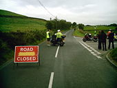
A702, normally a busy link between Edinburgh and England, is now quiet as it is again closed at West Linton for reconstruction of the carriageway.
Looking north, standing in the road at Hazlieburn, below the Pentland Hills.
M74-13.jpg
A sign of many patches, approaching J13, Abington Interchange on the M74 from the south on the A702
14crawford.jpg
Approaching the Crawford off slip for J14 from the A74(M) southbound. The rest of the junction is further south at Elvanfoot.
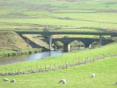
Rich pastures near the River Clyde - Geograph - 3677267.jpg
Rich pastures near the River Clyde (C) Liz 'n' Jim
With the bridges, old and new, in the background.
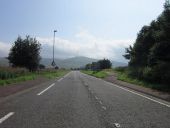
The A702 south of Crawford - Geograph - 3630208.jpg
The A702 south of Crawford
Junction 14, A74(M) - Geograph - 1032469.jpg
Junction 14, A74(M) Looking over the junction of the A74(M) to the heavily forested Wellshot Hill.
Road to Abington near White Hill - Geograph - 4113604.jpg
Road to Abington near White Hill The lorry on the left is on the M74.
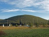
A702 and M74 - Geograph - 4089208.jpg
A702 and M74 Both roads more or less follow the line of the old A74 at this point just south of Abington. The hill with the mast in the background is Craighead Hill.
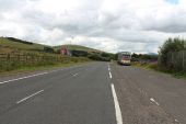
The Road to Crawford near White Hill - Geograph - 4113610.jpg
The Road to Crawford near White Hill The red lorry is on the A74(M).
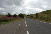
The A702 near Boghead - Geograph - 3629816.jpg
The A702 near Boghead
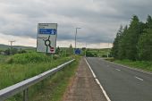
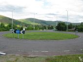
Roundabout west of Crawford - Geograph - 4089241.jpg
Roundabout west of Crawford The junction is at the intersection of the A702, a slip-road from the M74 and a local road into Crawford.
A702 north through Abington - Geograph - 2949966.jpg
A702 north through Abington
Carlisle Road, Abington - Geograph - 4113539.jpg
Carlisle Road, Abington
Edinburgh Road, Abington - Geograph - 4113545.jpg
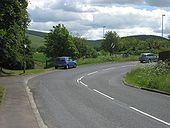
Edinburgh Road, Abington This is where the Edinburgh and Glasgow traffic once split in Abington.
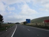
A702 passing Bottomess wood - Geograph - 2949948.jpg
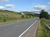
A702 passing Bottomess wood Looking north. Sign on M74 for Junction 13 just visible on motorway
A702 and M 74 South of Abington - Geograph - 2852472.jpg
A702 and M 74 South of Abington
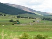
Upper Clyde Valley - Geograph - 1135148.jpg
Upper Clyde Valley View along the Upper Clyde Valley from the Abington Service Area.

The roundabout in the middle distance is where the roads to Lanark and Biggar diverge. In the not too distant past there was no roundabout, just a fork in the road.

The prominent hill in the distance is Tinto with its very large cairn at the summit just discernable.
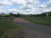
Old 'Clearway end' signs, original A74, Crawford - Coppermine - 18521.JPG
Old 'Clearway end' signs, original A74, Crawford

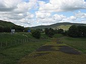
This old stub of the original A74 comes off the 1960s alignment just north of Crawford, to serve a farm & BT building. Clearway end signs date back to when the 1960s alignment was the main route.

Originally uploaded to Coppermine on Jun 16, 2008 by leopard680
B7040 Begins - Geograph - 406086.jpg
B7040 Begins
Road to the Lead Mining Museum
Castlefairn-br.jpg
Castlefairn Bridge over the Castlefairn Water on the A702
Moniavie-br1.jpg
Moniavie Bridge over the Dalwhat Water on the A702 in Moniavie
Moniavie-br2.jpg
Moniavie Bridge over the Dalwhat Water on the A702 in Moniavie
A712-b729-moniavie.jpg
The A702 / B729 Junction in Moniavie
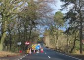
West Water Bridge - Geograph - 7379315.jpg
West Water Bridge There's some sort of work going on here, but the obstinately red traffic light offered the opportunity for a quick shot of the road crossing the West Water.
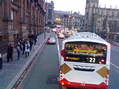
Lothian Road (A700) - Coppermine - 9356.jpg
non-bus lane. Lothian Road (A700) approaching Princes Street in Edinburgh.

Pointless bit of bus lane in the heart of Edinburgh city centre. All service buses using Lothian Rd use the stop (where the picture is taken from), then turn right onto Princess St. It means as soon as buses leave the stop they need to get over to the right, and leave the bus lane empty (or for law breakers!)

Originally uploaded to Coppermine on Nov 30, 2006 by ms90
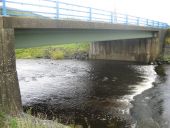
The Duneaton Water flows under the A702 before joining the River Clyde - Geograph - 2081480.jpg
The Duneaton Water flows under the A702 before joining the River Clyde
B797-abington.jpg
The northern end of the B797 approaching the A702 at Abington
 

SABRE - The Society for All British and Irish Road Enthusiasts
Discuss - Digest - Discover - Help