Gallery:A86
From Roader's Digest: The SABRE Wiki
Jump to navigation
Jump to search
A1-A99 > A86
A86
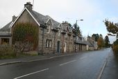
The B848 before it was replaced by the A889
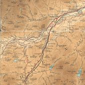
This page contains scans from a map that is believed may be out of copyright according to UK Crown Copyright, UK Copyright Law for other maps published in the United Kingdom, or Irish Government Copyright, is not being used to generate profit in this context, and presents information that cannot be exhibited otherwise.
If the copyright holder considers this is an infringement of their rights, please contact the site management team to discuss further steps.
If the copyright holder considers this is an infringement of their rights, please contact the site management team to discuss further steps.
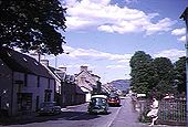
Old A9 Newtonmore
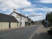
A shot of the A9 in Newtonmore circa 1962
OP AL70
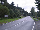
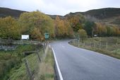
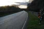
Originally uploaded to Coppermine on Apr 19, 2005 by M4SimonThe Drumgask junction between the A86 and A889, quarter of a mile south of Laggan Bridge. There is also an emergency phone here!
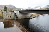
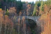
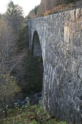
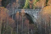
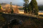
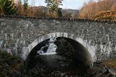
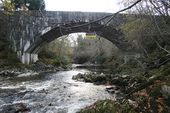
Is this the biggest bridge you've never heard of? The A86 crosses the Allt na h-Uamha on this magnificent concrete arch.
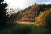
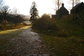
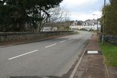
This grassy strip shows the alignment of the road constructed by Telford 200 years ago, and in use until the new bridge opened in the 1930s. Any evidence of the old bridge has disappeared however.
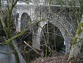
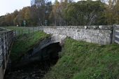
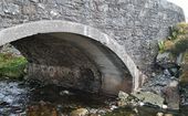
The old Moy Bridge on the A86, clearly showing Telford's original structure and the concrete added to widen the bridge in the 1930s.
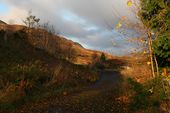
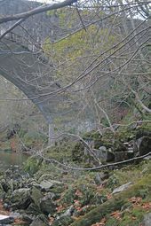
I have tried to highlight the remains of the old bridge in the foreground, while the newer bridge soars behind.
A close up of the foundations for the older bridge at Roy Bridge. With so little left it is difficult to know what the bridge would have originally looked like.
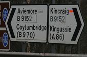
Patched sign on the B9152 at the A9 junction south of Aviemore. The Coylumbridge patch presumably covers A951, Aviemore the A9, but what about Kincraig?
Hidden categories:
