Gallery:D4

From Roader's Digest: The SABRE Wiki
Jump to navigation Jump to search


This gallery has no child categories
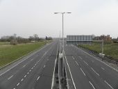
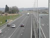
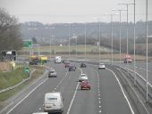
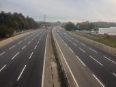
D4
 
 
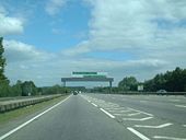
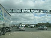
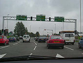
Ringwood - Coppermine - 15721.jpg
Ringwood

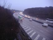
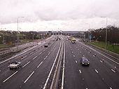
A31 and A338 slips, making a D4 for a short distance.

Originally uploaded to Coppermine on Oct 29, 2007 by SteveA30
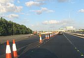
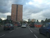
A2 Old and New at Southfleet - Coppermine - 19018.jpg
A2 Old and New at Southfleet

Start of the recently opened A2 realignment near Southfleet. This eastbound view, taken on 22nd June 2008, is just after the A2260 junction. The old A2 is to the left. The lights on the far left have now gone and work to remove the old carriageway here has begun in earnest.

Originally uploaded to Coppermine on Jul 09, 2008 by Yorkletts
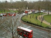
Hyde Park corner, London - Geograph - 1725796.jpg
Hyde Park corner, London
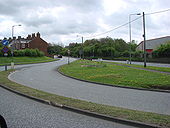
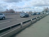
Durham Road, Ferryhill - Geograph - 419336.jpg
Durham Road, Ferryhill
Durham Road, the B6287, is the 'slip road' in the foreground. It leads off the A167 (Ferryhill western bypass), which can be seen running centre to centre-right ahead.
A4 signals - Coppermine - 23281.jpg
A4 signals

A railway style overhead signal gantry at the start of the A4

Originally uploaded to Coppermine on Oct 05, 2009 by SteveA30
A563 Squareabout Leicester - Coppermine - 1987.JPG
A563 Squareabout Leicester

Posted by Bryn-A666 on 10/18/2004

Originally uploaded to Coppermine on May 04, 2005 by M4Simon
A6 Crescent Albion Way.JPG
A6 westbound leaving the junction with Albion Way.
A601 (3).jpg
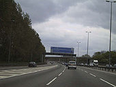
Derby Inner Ring Road- A601
P7170172s.jpg
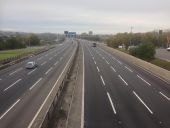
A13 looking east between Pitsea and Sadlers Farm.
A13 Church Road look west Aug2012.JPG
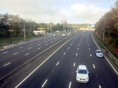
A13 looking west from Church Road in August 2012.
A13 Church Road look west2 Aug 2012.JPG
A13 looking west from Church Road in August 2012
A13 Church Road look east Aug 2012.JPG
A13 looking east from Church Road in August 2012
A13 Church Road look east2 Aug 2012.JPG
A13 looking east from Church Road in August 2012
A13 west Church Road 2013.JPG
A13 looking west from Church Road bridge in 2013.
A13 west2 Church Road 2013.JPG
A13 looking west from Church Road in 2013.
A13 west3 Church Road 2013.JPG
A13 looking west from Church Road in 2013.
A13 east Church Road 2013.JPG
A13 looking east from Church Road in 2013.
A13 east2 Church Road 2013.JPG
A13 looking east from Church Road in 2013
A13 east3 Church Road 2013.JPG
A13 looking east from Church Road in 2013
M1 south all-lane running.jpg
All lane running on the M1, looking south.
M1 north all-lane running.jpg
Looking north on the M1, with all-lane running.
M62 all-lane running east.jpg
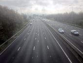
All-lane running in action on the M62.
M62 all-lane running west.jpg
Looking west along the M62.
M5 Avon-06-M5 Junction 18 - Coppermine - 1485.jpg
M5 Avon-06-M5 Junction 18

Approaching interchange with A4.

Posted by Andy on 5/4/2003

Originally uploaded to Coppermine on Apr 25, 2005 by M4Simon
The M25 from Oaklawn Road, Leatherhead - Geograph - 2735273.jpg
The M25 from Oaklawn Road, Leatherhead
M1 south from Trowell.jpg
Looking south along a wet M1 from Trowell services.
 

SABRE - The Society for All British and Irish Road Enthusiasts
Discuss - Digest - Discover - Help