Gallery:Derry

From Roader's Digest: The SABRE Wiki
Jump to navigation Jump to search


This gallery has no child categories
Derry
 
 
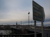
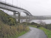
Foyle Embankment, Derry - Londonderry - Geograph - 1797991.jpg
Foyle Embankment, Derry - Londonderry
Heading NNW
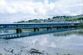
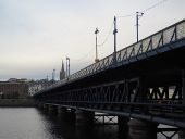
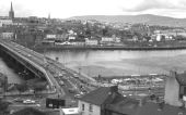
Craigavon Bridge, Derry - Geograph - 746425.jpg
Craigavon Bridge, Derry
The Craigavon Bridge over the river Foyle in Derry.

Construction began in the late 1920s and was finished in 1933. The lower deck of the current bridge was originally a railway line, but this was replaced by a road in 1968. It was named after Lord Craigavon, a former Prime Minister of Northern Ireland.

This bridge replaced an earlier steel structure known as the Carlisle Bridge that was constructed in 1863. The earliest crossing over the Foyle near this point was a wooden bridge dating from around 1790.
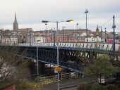
Craigavon Bridge, Derry - Londonderry - Geograph - 1798011.jpg
Craigavon Bridge, Derry - Londonderry
Heading south-east towards the Waterside district
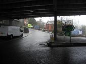
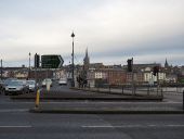
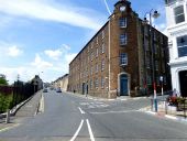
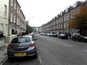
Railway Road, Derry - Londonderry - Geograph - 1472699.jpg
Railway Road, Derry - Londonderry
Looking west
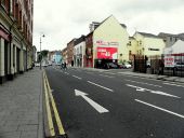
Waterside link, Derry - Londonderry - Geograph - 1472865.jpg
Waterside link, Derry - Londonderry
Heading north
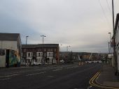
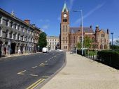
Victoria Road, Derry - Londonderry - Geograph - 1798015.jpg
Victoria Road, Derry - Londonderry
Heading south-east
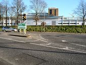
Traffic lights at Altnagelvin junction - Geograph - 674050.jpg
Traffic lights at Altnagelvin junction
The junction of the Belt road and the A6 with Altnagelvin hospital in the background.
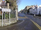
St Francis Street, Derry - Londonderry - Geograph - 1159222.jpg
St Francis Street, Derry - Londonderry
Heading towards Northland Road
Caw, Derry - Londonderry - Geograph - 142020.jpg
Caw, Derry - Londonderry
The road runs north-east towards the dual carriageway and the Caw roundabout
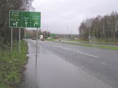
Approaching the Caw Roundabout - Geograph - 108198.jpg
Approaching the Caw Roundabout
Roads lead to Londonderry, Foyle Bridge and Limavady
Link road, Derry - Londonderry - Geograph - 2794467.jpg
Link road, Derry, Londonderry
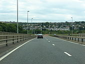
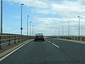
A515 Foyle Bridge - Coppermine - 15748.jpg
A515 Foyle Bridge

Eastbound, northern shore of Lough Foyle.

Originally uploaded to Coppermine on Nov 03, 2007 by csd
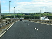
A515 Foyle Bridge - Coppermine - 15749.jpg
A515 Foyle Bridge

Eastbound, over the centre of Lough Foyle.

Originally uploaded to Coppermine on Nov 03, 2007 by csd
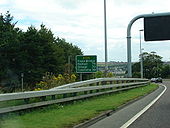
A515 Foyle Bridge Approach - Coppermine - 15752.jpg
A515 Foyle Bridge Approach

Eastbound from the northern shore.

Originally uploaded to Coppermine on Nov 03, 2007 by csd
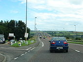
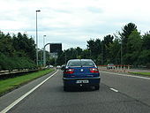
A515 Foyle Bridge Approach - Coppermine - 15753.jpg
A515 Foyle Bridge Approach

RCS and VMS on the eastbound carriageway approaching the bridge.

Originally uploaded to Coppermine on Nov 03, 2007 by csd
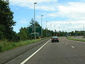
A515 Foyle Bridge Approach - Coppermine - 15754.jpg
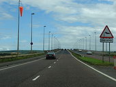
A515 Foyle Bridge Approach

Eastbound approaching the bridge.

Originally uploaded to Coppermine on Nov 03, 2007 by csd
A515 Foyle Bridge - Coppermine - 15750.jpg
A515 Foyle Bridge

Appoaching the centre of the Lough.

Originally uploaded to Coppermine on Nov 03, 2007 by csd
A515 Foyle Bridge Approach - Coppermine - 15747.jpg
A515 Foyle Bridge Approach

End of the approach road, heading east.

Originally uploaded to Coppermine on Nov 03, 2007 by csd
A515 Foyle Bridge Approach - Coppermine - 15751.jpg
A515 Foyle Bridge Approach

View from the northern shore, heading east.

Originally uploaded to Coppermine on Nov 03, 2007 by csd
Craigavon Bridge, Londonderry - Geograph - 335428.jpg
Craigavon Bridge, Londonderry
Londonderry once had four railway companies serving the City.

They are;
Standard gauge;
1:) Great Northern Railway of Ireland, (Foyle Road) Belfast to Londonderry via Portadown (West Bank)
2:) London Midland and Scottish Northern Counties Committee, (Waterside) Belfast to Londonderry via Antrim (East Bank)
Narrow Gauge
3:) Londonderry and Lough Swilly *Pennyburn)(West Bank)
4:) County Donegal Joint Railway Committee. (Victoria Road) (East Bank)

In order for the four railway companies to interchange goods wagons, the Craigavon Bridge was designed and built as a double deck bridge.

The lower deck had a turn-table at either end, and carried trackwork of mixed gauge, 5ft 3ins (Standard gauge), and 3ft 0ins (Narrow gauge).
The goods wagons would have been placed on the turn-table one at a time and hauled across the bridge by winch and chain.
After three out of the four railway companies ceased trading, the lower deck of the bridge was converted to carry road traffic to and from the East and West Banks of Londonderry.
The Foyle Bridge - Flickr - 8681245786.jpg
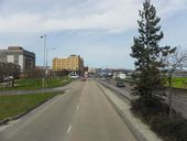
Foyle Bridge from eastern approach
A2 Derry.jpg
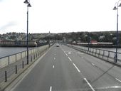
The A2 Crossing the double-decker Craigavon Bridge in Derry
End of A6 on the Waterside.jpg
The A6 meeting the A2 on the Waterside
A2 Craigavon Bridge 2.jpg
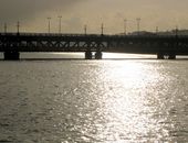
The double-decker Craigavon Bridge, in Derry-Londonderry
A2 Craigavon Bridge 3.jpg
The double-decker Craigavon Bridge, in Derry-Londonderry
A2 Craigavon Bridge 4.jpg
The double-decker Craigavon Bridge, in Derry-Londonderry
B507 Abercorn Road, Derry - Londonderry - Geograph - 3545585.jpg
B507 Abercorn Road, Derry - Londonderry Heading westwards
Clarendon Street, Derry - Londonderry - Geograph - 1553220.jpg
Clarendon Street, Derry - Londonderry Looking east
Foyle Street, Derry - Londonderry - Geograph - 3545408.jpg
Foyle Street, Derry - Londonderry Heading north-west towards the Guildhall and Shipquay Place
Great James Street, Derry - Londonderry - Geograph - 4602313.jpg
Great James Street, Derry - Londonderry Heading west from Strand Road
The Craigavon Bridge (1980) - Geograph - 2798626.jpg
The Craigavon Bridge (1980) This view is from close to the Strabane Old Road, looking across to the city side of the Foyle.
Foyle Bridge, Derry - Londonderry - Geograph - 129548.jpg
Foyle Bridge, Derry A view from the city side
 

SABRE - The Society for All British and Irish Road Enthusiasts
Discuss - Digest - Discover - Help