Gallery:E01
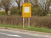
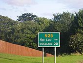
This sign is on the N25 from Rosslare Harbour to Wexford and Dublin. Intended to be seen by drivers arriving at Rosslare by ferry, it reminds them in English, French and German to drive on the left.
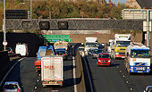
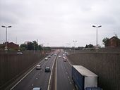
See <a href='http://www.geograph.org.uk/photo/1450533'>J3374 : The Westlink, Belfast</a>. The view towards the M2, from the flyover at Divis Street. Continue to <a href='http://www.geograph.org.uk/photo/1582779'>J3374 : The Westlink, Belfast (4)</a>.
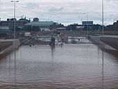
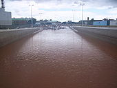
Broadway underpass on the A12 Westlink filled with water to a depth of about 15 feet at 1pm on Sunday 17 August 2008. Engineers have been pumping the water out for about ten hours at this point, and are cleaning the tarmac ahead. The police removed the central reservation as an emergency measure to get vehicles away, and this is also being repaired. A nearby river overwhelmed its culvert and filled the underpass around tea time on Saturday.
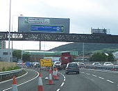
Originally uploaded to Coppermine on Aug 17, 2008 by nirsNew signage on the southbound Westlink approaching Broadway reflecting the freeflow nature of the road. Non-motorway traffic is instructed to leave at Broadway, while the M1 chopsticks sign points the way ahead!
Originally uploaded to Coppermine on Jul 07, 2008 by nirsBroadway underpass on the A12 Westlink filled with water to a depth of about 15 feet at 1pm on Sunday 17 August 2008. You can see the high water mark from the previous evening ABOVE the roof level of the underpass. A nearby river overwhelmed its culvert and filled the underpass around tea time on Saturday. There's rumoured to be a number of abandoned vehicles still down there.
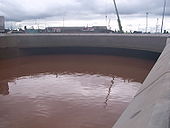
Originally uploaded to Coppermine on Aug 17, 2008 by nirsBroadway underpass on the A12 Westlink filled with dirty river water to a depth of about 15 feet at 1pm on Sunday 17 August 2008. You can see the high water mark from the previous evening. A nearby river overwhelmed its culvert and filled the underpass around tea time on Saturday. There's going to be a lot of silt and other debris to remove from the underpass, including (by rumour) abandoned vehicles.
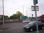
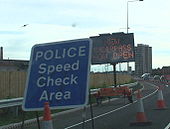
Originally uploaded to Coppermine on Aug 17, 2008 by nirsTwin signs, one telling relieved motorists that the new Broadway underpass ahead is now open, but another warning that the 30-40mph speed limit still very much applies.
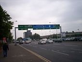
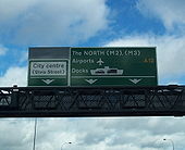
Originally uploaded to Coppermine on Jul 07, 2008 by nirsThis gantry sign was erected northbound on the Westlink between Roden Street and Grosvenor Road in early 2008. However it is erroneous in that the M2 and M3 labels should be written on a blue patch rather than the green background.
Originally uploaded to Coppermine on Mar 09, 2008 by nirsHeading south from Grosvenor Road, the point where M1-bound traffic moves across to the future northbound carriageway. The road is really starting to take shape.
Originally uploaded to Coppermine on Jul 08, 2007 by nirsThis space age structure is the new footbridge at Roden Street, here seen M1-bound. The designers have put a lot of effort into the look of the new road, which is great. However this is the spot where the most 'bricking' of vehicles happens, so the bridge is fully enclosed, like its predecessor.
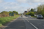
Originally uploaded to Coppermine on Jul 08, 2007 by nirsLooking into NI, taken 15.11.2009.
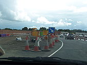
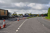
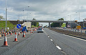
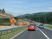
Originally uploaded to Coppermine on Nov 15, 2009 by csdThere is currently two way traffic on one side of the dual carriageway. This rush hour picture shows queuing traffic approaching Newry.
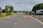
Originally uploaded to Coppermine on May 30, 2009 by TruveloThis is looking the other way. I suppose it's possible to use this to bypass the queue and force your way back into the traffic.
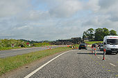
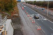
Originally uploaded to Coppermine on May 30, 2009 by TruveloThis is as far as the closed carriageway goes. The pile of asphalt appears to be the remains of the rest.
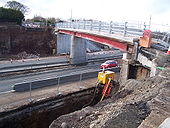
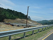
Originally uploaded to Coppermine on May 30, 2009 by TruveloUpgrade works in progress with a new bridge just visible on the left
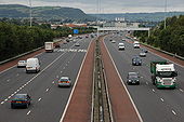
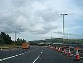
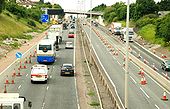
Originally uploaded to Coppermine on May 26, 2009 by TruveloSee <a href='http://www.geograph.org.uk/photo/568568'>J3477 : Almost dead stop on the M2, Belfast</a>. The view outwards from the Hightown Road bridge near Glengormley. The abutment for the new bridge is at lower left. The inside lane is closed to traffic but in use by contractors� vehicles. (The Google map shows this bridge as going under rather than over the motorway).
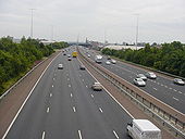
The building of the foreshore section of the M2 between Whitla Street, Belfast and Greencastle was a major civil engineering project. It involved reclamation of a large part of Belfast Lough and the transport of more than 4 million tons of fill, by rail, from Magheramorne near Larne. Work started in 1966 with the road opening in 1973. This is the view north from the overbridge at Fortwilliam. The landscaping has taken well although it is hard to hide a motorway! Those with an interest in such things will note the additional hard shoulder on the inside. This section of road carries more than 90,000 vehicles each day.
To allow the widening of the M2 to 3+2 to 3+3 lanes, the Hightown Road bridge is being rebuilt. The new bridge will also be 3 lanes wide to allow improvements to the local road above. The temporary footbridge is actually a thin sliver of the finished bridge. Taken from the truncated end of Hightown Road.
Originally uploaded to Coppermine on Mar 09, 2008 by nirsThe Fire Engine is not as it appears. You can rent it out for parties.
See <a href='http://www.geograph.org.uk/photo/568568'>J3477 : Almost dead stop on the M2, Belfast</a> and <a href='http://www.geograph.org.uk/photo/596351'>J3181 : The M2 (northbound) at Glengormley (2)</a>. Work continues on the widening on the M2 between Greencastle and Sandyknowes. This is the hill section seen from the Bellevue Bridge on the Antrim Road. The re-built Collin Bridge is in the background. See also <a href='http://www.geograph.org.uk/photo/891407'>J3281 : The M2 (hill section), Belfast (2)</a>.
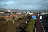
The Larne Railway Line and M2 Motorway looking towards Fortwilliam.
Image made from the Milewater Road footbridge.
Looking south into Belfast from the J1 bridge on the M2. This four-lane section would be five but for the lane drop-gain through the junction. Note the hard shoulders on both sides of the road
Originally uploaded to Coppermine on Jun 22, 2006 by exploNote the (A1).
Originally uploaded to Coppermine on Jul 29, 2007 by csdHeading north in contraflow on future southbound carriageway
Originally uploaded to Coppermine on Jun 15, 2007 by mackerskiClearance for the new road can be seen to the left of the picture. The first structure, a bridge carrying a local road, is nearing completion just north of this point. The roundabout which currently forms the end of the improved road is straight ahead. This roundabut will evemtually form part of the dumbbell interchange at this point.
Originally uploaded to Coppermine on Jul 02, 2006 by csdYou can see the existing N1 just underneath the construction site. This is Feede Cross, at the southern end of Ravensdale, viewed from near the summit of Clermont Cairn, to the east of Ravensdale.
Originally uploaded to Coppermine on Sep 03, 2006 by csdTraffic has been diverted off the old N1 and down what will eventually be a slip road for the Ravensdale junction. The old N1 has been subsumed to the left of the pic. Looking north 30.06.2006.
Originally uploaded to Coppermine on Jul 02, 2006 by csdA new bridge at the Ravensdale junction takes shape. The upgraded road will be routed under this bridge.
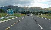
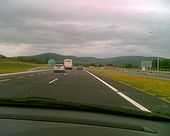
Originally uploaded to Coppermine on Jul 02, 2006 by csdLast confirmation before final exit in Republic
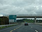
Originally uploaded to Coppermine on Aug 04, 2007 by IJP1Jonesborough exit (Jonesborough is actually in Co Armagh, in the North)
Originally uploaded to Coppermine on Aug 04, 2007 by IJP1ADS for Jonesborough/Carrickcarnan exit (J20)
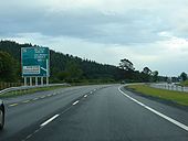
Originally uploaded to Coppermine on Aug 06, 2007 by csdADS for Ravensdale exit (J19)
Originally uploaded to Coppermine on Aug 06, 2007 by csdSouthbound. Now this is odd. It's 1km to the start of the motorway, but only 300m to the last exit for non-motorway traffic.
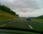
Originally uploaded to Coppermine on Jun 15, 2007 by mackerskiSouthbound, approaching M1
Originally uploaded to Coppermine on Jun 15, 2007 by mackerski