Gallery:E16
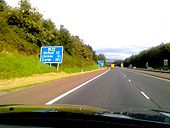
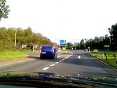
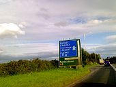
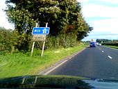
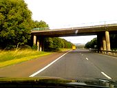
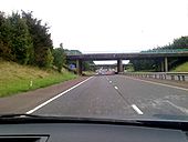
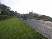
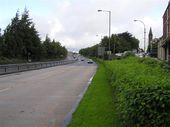
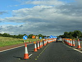
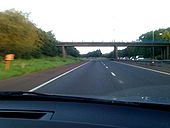
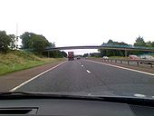
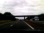
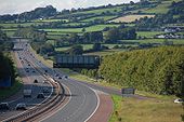
Pic taken travelling westbound between j7 (M2) and j1 (M22).
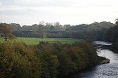
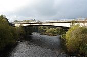
Originally uploaded to Coppermine on Jul 14, 2009 by A42_SparksThe M22 NI crossing the River Maine, between j 2 and j 3. Photo taken from the former railway bridge in Randalstown.
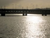
Originally uploaded to Coppermine on Nov 18, 2006 by jonny77The bridge carrying the M22 over the River Maine, between j 2 and j 3, near Randalstown
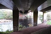
Originally uploaded to Coppermine on Nov 19, 2006 by jonny77View from under the M22/River Maine Bridge, standing on the western side
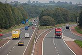
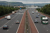
Originally uploaded to Coppermine on Nov 19, 2006 by jonny77The M2 should have continued north from Dunsilly with the M22 as a branch heading west. That section of the M2 was never built (although an all-purpose dual carriageway was - eventually). The M22 is in the foreground and becomes the M2 at the end of the on-slip on the left. The wide central reservation was to allow the two motorways to merge. View to Belfast on 25 September 2006.
Originally uploaded to Coppermine on Feb 05, 2007 by Wee HughieThe junction of the Belt road and the A6 with Altnagelvin hospital in the background.
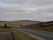
The desolate Glenshane Pass cuts through the Sperrin Mountains as part of the A6 between Maghera and Dungiven and is one of the highest points of the road network in Ireland
Originally uploaded to Coppermine on Jun 22, 2006 by exploLondonderry once had four railway companies serving the City.
They are;
Standard gauge;
1:) Great Northern Railway of Ireland, (Foyle Road) Belfast to Londonderry via Portadown (West Bank)
2:) London Midland and Scottish Northern Counties Committee, (Waterside) Belfast to Londonderry via Antrim (East Bank)
Narrow Gauge
3:) Londonderry and Lough Swilly *Pennyburn)(West Bank)
4:) County Donegal Joint Railway Committee. (Victoria Road) (East Bank)
In order for the four railway companies to interchange goods wagons, the Craigavon Bridge was designed and built as a double deck bridge.
The lower deck had a turn-table at either end, and carried trackwork of mixed gauge, 5ft 3ins (Standard gauge), and 3ft 0ins (Narrow gauge).
The goods wagons would have been placed on the turn-table one at a time and hauled across the bridge by winch and chain.
After three out of the four railway companies ceased trading, the lower deck of the bridge was converted to carry road traffic to and from the East and West Banks of Londonderry.
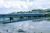
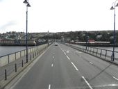
The Craigavon Bridge over the river Foyle in Derry.
Construction began in the late 1920s and was finished in 1933. The lower deck of the current bridge was originally a railway line, but this was replaced by a road in 1968. It was named after Lord Craigavon, a former Prime Minister of Northern Ireland.
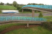
Spiral footbridge across the M2 at Donegore, north of Templepatrick. 8 October 2006.
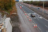
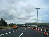
Originally uploaded to Coppermine on Feb 08, 2007 by Wee HughieSee <a href='http://www.geograph.org.uk/photo/568568'>J3477 : Almost dead stop on the M2, Belfast</a>. The view outwards from the Hightown Road bridge near Glengormley. The abutment for the new bridge is at lower left. The inside lane is closed to traffic but in use by contractors� vehicles. (The Google map shows this bridge as going under rather than over the motorway).
Photo taken 06.08.2007.
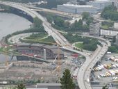
Originally uploaded to Coppermine on Aug 07, 2007 by csdThe building of the foreshore section of the M2 between Whitla Street, Belfast and Greencastle was a major civil engineering project. It involved reclamation of a large part of Belfast Lough and the transport of more than 4 million tons of fill, by rail, from Magheramorne near Larne. Work started in 1966 with the road opening in 1973. This is the view north from the overbridge at Fortwilliam. The landscaping has taken well although it is hard to hide a motorway! Those with an interest in such things will note the additional hard shoulder on the inside. This section of road carries more than 90,000 vehicles each day.
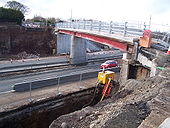
To allow the widening of the M2 to 3+2 to 3+3 lanes, the Hightown Road bridge is being rebuilt. The new bridge will also be 3 lanes wide to allow improvements to the local road above. The temporary footbridge is actually a thin sliver of the finished bridge. Taken from the truncated end of Hightown Road.
Originally uploaded to Coppermine on Mar 09, 2008 by nirsThe Fire Engine is not as it appears. You can rent it out for parties.
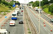
See <a href='http://www.geograph.org.uk/photo/568568'>J3477 : Almost dead stop on the M2, Belfast</a> and <a href='http://www.geograph.org.uk/photo/596351'>J3181 : The M2 (northbound) at Glengormley (2)</a>. Work continues on the widening on the M2 between Greencastle and Sandyknowes. This is the hill section seen from the Bellevue Bridge on the Antrim Road. The re-built Collin Bridge is in the background. See also <a href='http://www.geograph.org.uk/photo/891407'>J3281 : The M2 (hill section), Belfast (2)</a>.
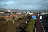
The Larne Railway Line and M2 Motorway looking towards Fortwilliam.
Image made from the Milewater Road footbridge.
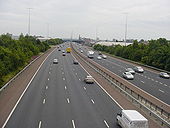
Looking south into Belfast from the J1 bridge on the M2. This four-lane section would be five but for the lane drop-gain through the junction. Note the hard shoulders on both sides of the road
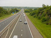
Originally uploaded to Coppermine on Jun 22, 2006 by exploA look at the northbound carriageway of the M2 from a bridge at Parkgate
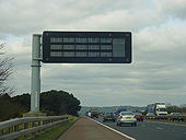
Originally uploaded to Coppermine on Jun 22, 2006 by exploA modern VMS between juntions 4 and 5 on the northbound M2
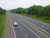
Originally uploaded to Coppermine on Jun 22, 2006 by exploLooking south through a cutting on the M2 from the overbridge at Parkgate
Originally uploaded to Coppermine on Jun 22, 2006 by exploThe M2 at Templepatrick (J5) looking north towards Dunsilly (where it becomes the M22). Probably the straightest bit of motorway in NI. Traffic, from the north and north west, leaves here for Belfast International Airport. 17 September 2006.
Originally uploaded to Coppermine on Jan 29, 2007 by Wee HughiePosted by Gavin on 3/16/2003
Originally uploaded to Coppermine on Apr 26, 2005 by M4SimonPosted by Gavin on 3/16/2003
Originally uploaded to Coppermine on Apr 26, 2005 by M4Simon