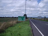
Gallery:E18
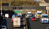
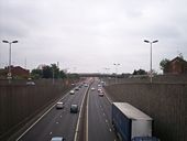
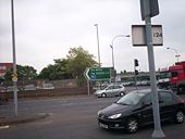
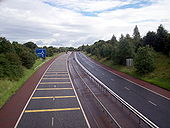
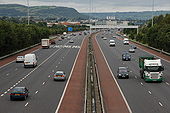
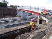
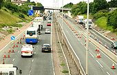
See <a href='http://www.geograph.org.uk/photo/1450533'>J3374 : The Westlink, Belfast</a>. The view towards the M2, from the flyover at Divis Street. Continue to <a href='http://www.geograph.org.uk/photo/1582779'>J3374 : The Westlink, Belfast (4)</a>.
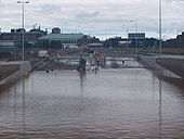
Broadway underpass on the A12 Westlink filled with water to a depth of about 15 feet at 1pm on Sunday 17 August 2008. Engineers have been pumping the water out for about ten hours at this point, and are cleaning the tarmac ahead. The police removed the central reservation as an emergency measure to get vehicles away, and this is also being repaired. A nearby river overwhelmed its culvert and filled the underpass around tea time on Saturday.
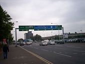
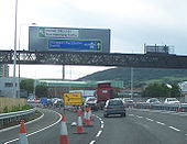
Originally uploaded to Coppermine on Aug 17, 2008 by nirsNew signage on the southbound Westlink approaching Broadway reflecting the freeflow nature of the road. Non-motorway traffic is instructed to leave at Broadway, while the M1 chopsticks sign points the way ahead!
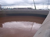
Originally uploaded to Coppermine on Jul 07, 2008 by nirsBroadway underpass on the A12 Westlink filled with water to a depth of about 15 feet at 1pm on Sunday 17 August 2008. You can see the high water mark from the previous evening ABOVE the roof level of the underpass. A nearby river overwhelmed its culvert and filled the underpass around tea time on Saturday. There's rumoured to be a number of abandoned vehicles still down there.
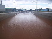
Originally uploaded to Coppermine on Aug 17, 2008 by nirsBroadway underpass on the A12 Westlink filled with dirty river water to a depth of about 15 feet at 1pm on Sunday 17 August 2008. You can see the high water mark from the previous evening. A nearby river overwhelmed its culvert and filled the underpass around tea time on Saturday. There's going to be a lot of silt and other debris to remove from the underpass, including (by rumour) abandoned vehicles.
Originally uploaded to Coppermine on Aug 17, 2008 by nirsTwin signs, one telling relieved motorists that the new Broadway underpass ahead is now open, but another warning that the 30-40mph speed limit still very much applies.
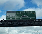
Originally uploaded to Coppermine on Jul 07, 2008 by nirsThis gantry sign was erected northbound on the Westlink between Roden Street and Grosvenor Road in early 2008. However it is erroneous in that the M2 and M3 labels should be written on a blue patch rather than the green background.
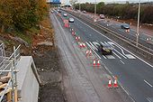
Originally uploaded to Coppermine on Mar 09, 2008 by nirsHeading south from Grosvenor Road, the point where M1-bound traffic moves across to the future northbound carriageway. The road is really starting to take shape.
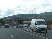
Originally uploaded to Coppermine on Jul 08, 2007 by nirsThis space age structure is the new footbridge at Roden Street, here seen M1-bound. The designers have put a lot of effort into the look of the new road, which is great. However this is the spot where the most 'bricking' of vehicles happens, so the bridge is fully enclosed, like its predecessor.
Originally uploaded to Coppermine on Jul 08, 2007 by nirsThis photograph was taken from the Charlestown Road bridge looking northeast towards, possibly, the only 'roundabout' on a motorway in the British Isles. Note the Traffic Calming Strips to alert motorists to slow down for the roundabout ahead. The construction of this 'roundabout' saved the Government some 2-3 million pounds in alternative construction methods. Concern at such a construction on a motorway did result in some spectecular spills from large vehicles negotiationg the roundabout. Thankfully no one has been badly injured and re-adjustments to the camber of the road has proved successful so far.
The M1 (Northern Ireland) at Junction 11, where the M12 breaks away to Craigavon and Portadown - as well as a link to the A3 to Armagh and Monaghan. The view is towards Dungannon. Townland of Ballynacor.
See <a href='http://www.geograph.org.uk/photo/568568'>J3477 : Almost dead stop on the M2, Belfast</a>. The view outwards from the Hightown Road bridge near Glengormley. The abutment for the new bridge is at lower left. The inside lane is closed to traffic but in use by contractors� vehicles. (The Google map shows this bridge as going under rather than over the motorway).
The building of the foreshore section of the M2 between Whitla Street, Belfast and Greencastle was a major civil engineering project. It involved reclamation of a large part of Belfast Lough and the transport of more than 4 million tons of fill, by rail, from Magheramorne near Larne. Work started in 1966 with the road opening in 1973. This is the view north from the overbridge at Fortwilliam. The landscaping has taken well although it is hard to hide a motorway! Those with an interest in such things will note the additional hard shoulder on the inside. This section of road carries more than 90,000 vehicles each day.
To allow the widening of the M2 to 3+2 to 3+3 lanes, the Hightown Road bridge is being rebuilt. The new bridge will also be 3 lanes wide to allow improvements to the local road above. The temporary footbridge is actually a thin sliver of the finished bridge. Taken from the truncated end of Hightown Road.
Originally uploaded to Coppermine on Mar 09, 2008 by nirsSee <a href='http://www.geograph.org.uk/photo/568568'>J3477 : Almost dead stop on the M2, Belfast</a> and <a href='http://www.geograph.org.uk/photo/596351'>J3181 : The M2 (northbound) at Glengormley (2)</a>. Work continues on the widening on the M2 between Greencastle and Sandyknowes. This is the hill section seen from the Bellevue Bridge on the Antrim Road. The re-built Collin Bridge is in the background. See also <a href='http://www.geograph.org.uk/photo/891407'>J3281 : The M2 (hill section), Belfast (2)</a>.
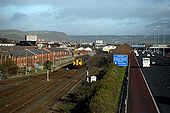
The Larne Railway Line and M2 Motorway looking towards Fortwilliam.
Image made from the Milewater Road footbridge.
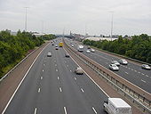
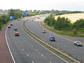
Looking south into Belfast from the J1 bridge on the M2. This four-lane section would be five but for the lane drop-gain through the junction. Note the hard shoulders on both sides of the road
Originally uploaded to Coppermine on Jun 22, 2006 by exploJust short of the Scottish border, too. Taken on the 6 December 2008 roadtrip.
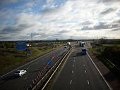
Originally uploaded to Coppermine on Dec 09, 2008 by nowsterAlthough the picture is distorted, this show the A74(M) & the hills in good stead. The Borders are very nice however not many Dual Carrageways. Very much Mitsubishi Evo IX territory the Border area.
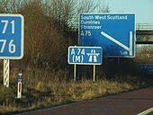
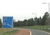
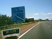
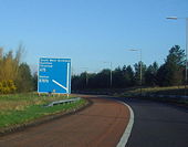
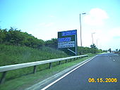
Originally uploaded to Coppermine on Sep 20, 2005 by ABeatonThis road sign is at the end of the slip road from the M74, where it becomes the A75.
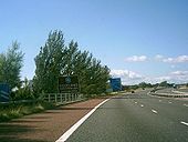
Here is the sign for the Scottish Border on the A74(M) at Grenta. The 'country' sign is after this border sign. This was the first section to be upgraded back in the early 1990's
Originally uploaded to Coppermine on Sep 18, 2005 by ABeatonHere is the A74 after the D3M started. This section was rebuilt in the early 1990's as part of the first phase of the A74 Upgrade. Once the HA finally start on the cumberland gap & it completion sometime in 2008/10, this section would have been waiting for the motorway to come to it section for 17-19 years. The Leech Line upgrade isn't as bad as it has taken the same time to upgrade 450 miles of railway & the Cumberland gap is only 6 miles. As Pathetic as the A6144(M)
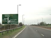
Originally uploaded to Coppermine on Sep 20, 2005 by ABeatonAfter crossing the Scottish Border, we see the first motorway fork sign in Scotland. All traffic for Gretna & Gretna Green having gone off at the A6071 junction.
Originally uploaded to Coppermine on Sep 19, 2005 by ABeatonThis is the last Motorway fork sign in England on the West Coast. The Next one is in Scotland. It is for the A75
Originally uploaded to Coppermine on Sep 19, 2005 by ABeatonA road I thoroughly dislike! The A75 essentially links Northern Ireland to England, but remains inadequate for the purpose, not least when they let the lorries off the ferry ahead of the cars... (d'oh!)
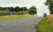
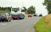
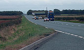
Originally uploaded to Coppermine on Jul 27, 2006 by IJP1A group of cars overtaking on a wide S2 section just west of Annan. Maybe this was once marked out as S3 with a suicide lane.
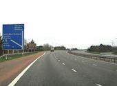
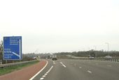
Originally uploaded to Coppermine on Oct 10, 2005 by TruveloOdd to see ENGLAND on a motorway sign like this. Taken at the end of the A75 approaching officially the A74(M) southbound. The M6 in brackets are confusing as the M6 doesnt start for another 8 miles and there is the A74(M) and plain A74 in between. Maybe this is trying to tell us (along with the out of font A74(M) northbound) that this will ALL be M6
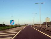
Originally uploaded to Coppermine on Sep 17, 2006 by SnowmanHeading west on the A75, which is a dual carriageway for a short distance after leaving the M74 motorway.
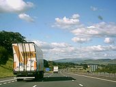
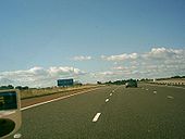
A75 west of Annan on a Sunday evening. This is perhaps the only day when you make decent progress on this road.
Originally uploaded to Coppermine on Oct 10, 2005 by Truvelo