Gallery:Oxbow Road
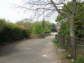
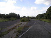
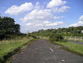
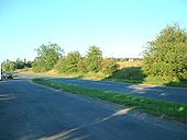
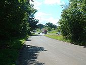
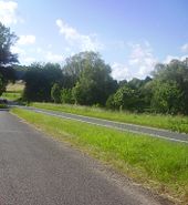
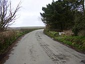
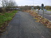
Looking east towards Basingstoke, on the section that only became A30 around 1933. Original, later improvement and, M3 in background.
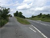
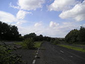
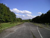
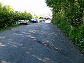
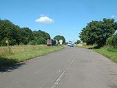
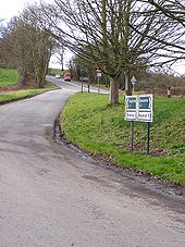
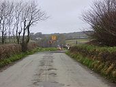
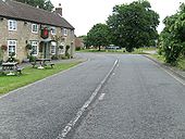
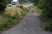
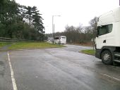
Originally uploaded to Coppermine on Aug 17, 2007 by SteveA30Looking west. Coach on M3 at J8 just glimpsed in gap in trees.
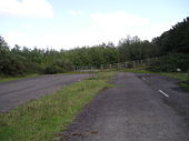
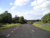
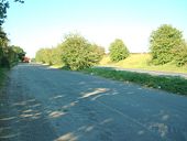
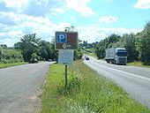
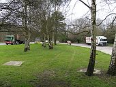
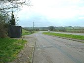
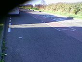
Originally uploaded to Coppermine on Aug 17, 2007 by SteveA30The other end of the old road layby. It is shown as a layby in the 1967 OS map revised for major roads 1966.
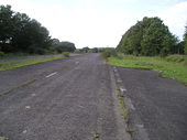
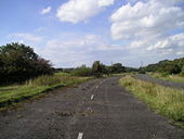
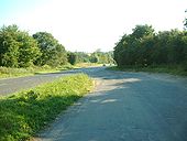
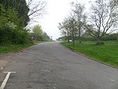
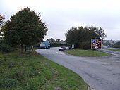
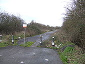
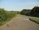
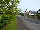
Originally uploaded to Coppermine on May 09, 2008 by SteveA30Old road layby, just south of North Petherton.
Originally uploaded to Coppermine on Apr 25, 2009 by SteveA30Looking north towards North Petherton.
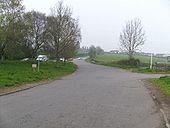
Originally uploaded to Coppermine on Apr 25, 2009 by SteveA30View south from that layby. Old white lines just visible.
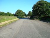
Originally uploaded to Coppermine on Aug 07, 2007 by SteveA30Original surface and white lines on layby. Considering that this improvement must be around 40-50 years old, its amazing that it has escaped any resurfacing in that time.
Originally uploaded to Coppermine on Aug 07, 2007 by SteveA30Looking south. The Taunton to Bridgwater stretch is mostly wide S2, S2/1 or D2, all done around the late '50s or early '60s. Can't have been much later as, the M5 was already marching south by the mid '60s, although it didn't reach here until the mid '70s
Originally uploaded to Coppermine on Aug 07, 2007 by SteveA30Almost all of the A20 from Maidstone to Ashford shows signs of improvements from many years ago. This is one of several old road laybys.
Originally uploaded to Coppermine on Mar 14, 2008 by SteveA30Former A361 at Dean Cross, near West Down in Devon. This road is now a very large lay-by.
Originally uploaded to Coppermine on Apr 24, 2006 by DavidBrownThe newer alignment can be seen ahead.
Originally uploaded to Coppermine on Apr 24, 2006 by DavidBrownThe aura of abandonment at the layby near Exeter today. March 2007, 8 years already since non local traffic disappeared.
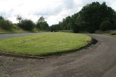
Originally uploaded to Coppermine on Mar 18, 2007 by SteveA30Taken from a bow shaped layby just to the West of an unclassified turn toward Charnage at 7.00 am on Saturday 11th June
Originally uploaded to Coppermine on Jun 27, 2005 by multiraider2Where the A518 meets the A513, this would be the original alignment before the roundabout was put in. Over the past two years I've driven past it hundreds of times, but I only noticed it whilst cycling past.
Originally uploaded to Coppermine on Feb 29, 2008 by rsorionboyOld A605 at Warmington. A nice detour route........
Originally uploaded to Coppermine on Jul 09, 2008 by SteveA30Standing on the old road. Further up is the remans of the old road that is still used for local traffic (apologies for the black bit!)
Originally uploaded to Coppermine on Apr 27, 2005 by ChrisHIt is hard to believe that this Victorian Street (Beaver Rd) used to be the main road to Romney Marsh and Hastings. It is now traffic-calmed with a colloapsible barrier, regularly rammed by cars that think they are buses!
Originally uploaded to Coppermine on Jun 30, 2005 by agc2070A short section of the old A41 northwest of Wolverhampton, the bend having been straightened out. These houses now have their backs to the main road, rather than their fronts.
. . . that this bit of old road, at Tullyraine, north of Banbridge, used to be the Belfast-Dublin road? It was until the mid-70�s. The present road is at the top with a Dublin-Belfast express bus (sorry �coach�) passing. This bit has been abandoned and has gates at both ends. View south on 10 August 2006.
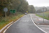
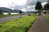
Originally uploaded to Coppermine on Feb 08, 2007 by Wee HughieThis is part of the old Belfast-Dublin (A1) road close to Loughbrickland lake. The new dual carriageway (opened December 2005) is out of sight on the right. The sign has now been moved to the new road. Photo on 20 October 2006.
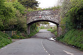
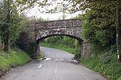
Originally uploaded to Coppermine on Feb 08, 2007 by Wee HughieUnderpass
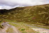
Originally uploaded to Coppermine on Mar 23, 2008 by danthemanLooking northeast, from the current alignment, down to the bottom hairpin.
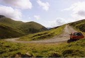
Originally uploaded to Coppermine on Feb 01, 2008 by leopard680Looking south, this is one half of the old Devil's elbow double hairpin at Glenshee. I can't remember how we got onto it from the current alignment (which is to the right of the picture, above my dad's then car!). The second harpin would've been up at the top of the hill, bending round to the right.
Originally uploaded to Coppermine on Feb 01, 2008 by leopard680Where it rejoined the newer. A handy fish and chip shop just here for divvies like me.
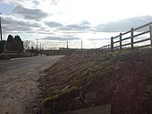
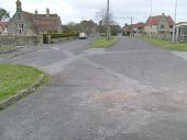
Originally uploaded to Coppermine on Mar 14, 2008 by SteveA30Looking east from the dead end, at the west end of Ilchester. An old improvement here, perhaps to allow space for the old village school.
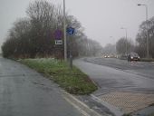
Originally uploaded to Coppermine on Apr 07, 2008 by SteveA30In a snowstorm on a January afternoon.
The road lead to Hewitt's Circus roundabout (and Tesco's) and then into Cleethorpes.
