Gallery:Salisbury
From Roader's Digest: The SABRE Wiki
Jump to navigation
Jump to search
Places in the South West > Salisbury
This gallery has no child categories
Salisbury
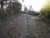
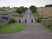
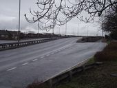
A345 that was.Pre 1969 this was the old route heading out from Amesbury to the then crossroads at Durrington Park at Wood henge to visit this road.
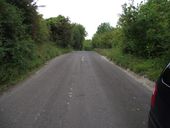
The old A345 meets the new on the brow of the hill. A new roundabout replaces the cross roads at Wight railings finished in 2009.
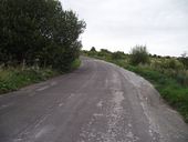
When the new roundabout was complete the old route of Stock port road was severed on its point with the A345.
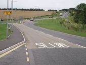
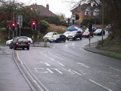
Where the A360 begins on the St Paul's roundabout in Salisbury . Pre 1976 this was a traffic light control with the A36 Wilton road just a few meters to the left the old A36 headed down the old route St Paul's road .
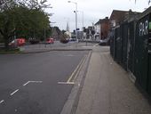
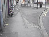
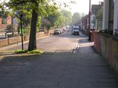
Looking away from the roundabout you can clearly still see the old curb stones in place of the old route A360 heading up Devizes road.
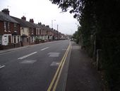
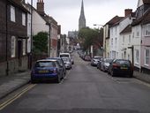
Until around 1968 this was the main A36 road out of Salisbury to Southampton . The newer Churchill way now takes traffic away,This street is St Ann's.
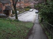
Before the Churchill way was built the old route of the A36 made its way from St paul's down to the Castle street junction. This being St Paul's road in Salisbury .Note the new is to the left.
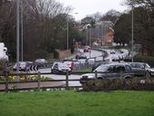
Looking down town on what was the old road out from Salisbury to the south coast with Bournemouth and Blandford ..Today the traffic light controlled roundabout has replaced the old fork junction..
The roundabout was built along with the Churchill way ring road in the early 1970s replacing the fork junction of the A338 Bournemouth road with the A354 Blandford road.Traffic heading in to Salisbury got taken away from the old Harnham bride to the newer one on the Exeter street roundabout..
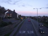
A very unusually quiet ring road for a saturday in Salisbury..Looking north bound on the Churchill way towards the St Marks roundabout.Just to the left was the entrance to the famous road to nowhere bridge demolished in February 1984..
A36 Churchill way south, In 1969/70 phase 2 Salisbury relief road opened taking traffic up from Castle street to St Marks new roundabout , Here we can clearly see where the houses in Campbell road have had to make way for the new inner relief road with the one on the end having a slate finish down the gable end.
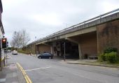
Salisbury, underpass (C) Mike Faherty
Taking Rampart Road/Milford Street/Milford Hill under Churchill Way East.
Taking Rampart Road/Milford Street/Milford Hill under Churchill Way East.
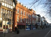
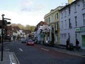
Milford Street, Salisbury
Looking east along Milford Street. The Red Lion Hotel was originally built to house draughtsmen working on the cathedral, and later became a busy coaching inn.
Looking east along Milford Street. The Red Lion Hotel was originally built to house draughtsmen working on the cathedral, and later became a busy coaching inn.
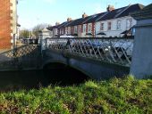
Salisbury - Nelson Road Bridge
This bridge was made by Joseph Butler and co at Stanningley Yorkshire in 1857.
This bridge was made by Joseph Butler and co at Stanningley Yorkshire in 1857.
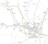
Salisbury Bypass as planned in 1991
