M1/Named Junctions
< M1(Redirected from M1 Named Junctions)
Jump to navigation
Jump to search
Most junctions on the M1 have names as well as junction numbers, these names sometimes come from the construction name, some are more popular names developed after the motorway opened.
| Image | Name | Classified Road(s) | Grid Reference | More Info | Map |
|---|---|---|---|---|---|
|
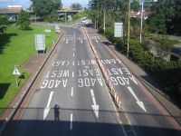
Staples Corner Junction 1 |
A5 / A406 | TQ227873 | ||
|
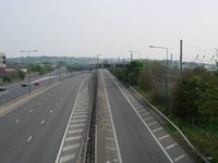
Fiveways Junction 2 |
A1 / A41 | TQ222906 | ||
|
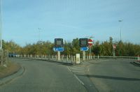
Junction 3 |
London Gateway Services | TQ200943 | Proposed junction from the 1980s | |
|
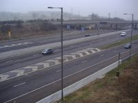
Brockley Junction 4 |
A41 | TQ175944 | ||
|
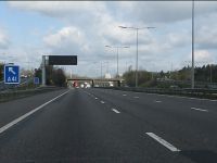
Berrygrove Junction 5 |
A41 / A4008 | TQ127982 | The original southern end. Sometimes called Aldenham | |
|
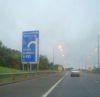
Waterdale Junction 6 |
A405 | TL118020 | ||
|
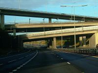
Chiswell Junction 6A |
M25 | TL115031 | ||
|
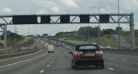
Beechtrees Junction 7 |
A414 | TL102064 | former M10 junction. Reworked with junction 8 to form one big junction during the widening of 6a - 10 during the late 2000s. | |
|
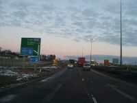
Breakspears Junction 8 |
A414 | TL094076 | ||
|
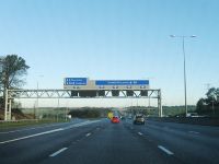
Friars Wash Junction 9 |
A5183 | TL091147 | ||
|
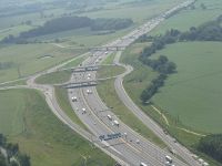
Pepperstock Junction 10 |
A1081 | TL086184 | ||
|
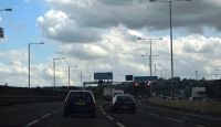
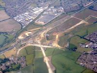
M1 J11 Junction 11 |
A505 | TL053227 | ||
|
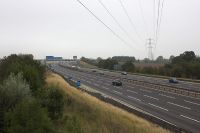
Chalton Junction 11A |
A5 / A5505 | TL038258 | ||
|
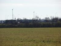
Toddington Junction 12 |
A5120 / B5120 / B530 | TL019299 | ||
|
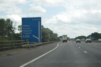
Ridgemont Junction 13 |
A421 / A507 | SP957374 | ||
|
Broughton Junction 14 |
A509 | SP892408 | ||
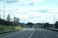
|
Collingtree Junction 15 |
A45 / A508 | SP755547 | ||
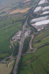
|
Rothersthorpe Junction 15A |
A43 / A5123 | SP724572 | ||
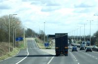
|
Kislingbury Junction 16 |
A45 / A4500 | SP673595 | ||
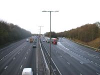
|
Kilsby Junction 17 |
M45 | SP585701 | ||
|
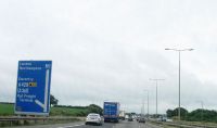
Crick Junction 18 |
A5 / A428 | SP575728 | ||
|
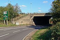
Catthorpe Junction 19 |
M6 / A14 | SP561788 | Hybrid dumbbell and free slip interchange, M1 going over A14, M6 southbound slip going over M1. New junction under construction will upgrade the capacity of the junction significantly. Signed as The NORTH WEST, Coventry (North), Birmingham M6 from the northbound direction, Felixstowe, Corby, Kettering A14 M6 from the southbound direction. | |
|
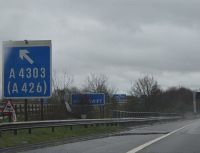
Misterton Junction 20 |
A4303 / A4304 | SP550838 | ||
|
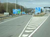
Whetstone Junction 21 |
M69 / A5460 | SK546006 | ||
|
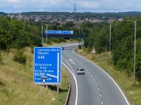
Kirby Muxlie Junction 21A |
A46 / B5380 | SK526050 | ||
|
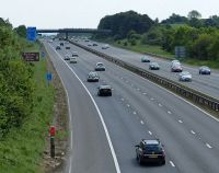
Markfield Junction 22 |
A50 / A511 | SK479111 | ||
|
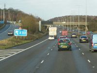
Shepshed Junction 23 |
A512 | SK490183 | ||
|
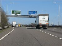
Finger Farm Junction 23A |
A42 / A453 | SK469249 | ||
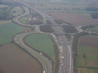
|
Kegworth Junction 24 |
A50 / A453 | SK475276 | ||
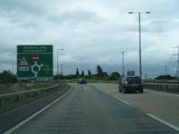
|
Warren Lane Junction 24A |
A50 | SK472289 | ||
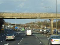
|
Sandiacre Junction 25 |
A52 | SK472356 | ||
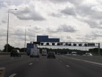
|
Nuthall Junction 26 |
A610 | SK514439 | ||
|
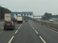
M1 J27 Junction 27 |
A608 | SK490520 | ||
|
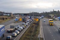
Pinxton Junction 28 |
A38 / B6019 | SK453562 | ||
|
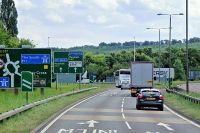
Heath Junction 29 |
A617 / A6175 | SK453669 |
| |
|
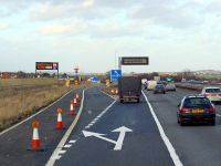
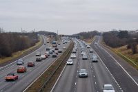
Duckmanton Junction 29a |
A6192 | SK447724 | Hybrid dumbbell interchange, M1 going over. New junction opened in June 2008. | |
|
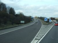
Barlborough Junction 30 |
A616 / A6135 | SK470768 | Standard roundabout interchange, M1 going under, main access to Worksop from the south. Signed as Sheffield (S) A6135, Worksop (A619) from the northbound direction and signed as Chesterfield, Newark A616 from the southbound direction. | |
|
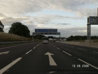
Aston Junction 31 |
A57 | SK477852 | Standard roundabout interchange, M1 going under. Signed as Worksop from the northbound direction and signed as Sheffield SE from the southbound direction | |
|
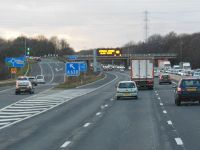
Thurcroft Junction 32 |
M18 | SK481886 | Very large directional T, M1 going under both off slips to the M18. Signed as The NORTH, Doncaster, Hull M18 from both directions. | |
|
Catcliffe Junction 33 |
A630 | SK433892 | Standard roundabout interchange, M1 going under and the main motorway access for central Sheffield. Signed as Sheffield (Centre) and Rotherham from both directions. Site also of a possible future service area at the south western corner, sandwiched between the M1 and A630, with access via the M1 northbound on slip. | |

|
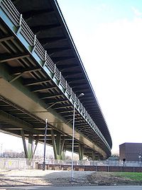
Tinsley Junction 34 (South) |
A631 / A6178 | SK398908 | Southern most part of a unique junction that forms Tinsley Viaduct, the M1 passes overhead, the main roads join at a lower level, with both the motorway and A631 crossing the river Don on a viaduct. Signed as Sheffield (Meadowhall) and Rotherham. | |
|
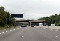
Meadowhall Junction 34 (North) |
A631 / A6109 | SK392918 | Northern most part of a unique junction that forms Tinsley Viaduct, the M1 passes overhead, the main roads join at a lower level, with both the motorway and A631 crossing the river Don on a viaduct. Signed as Sheffield (Meadowhall) and Rotherham. | |
|
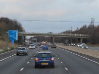
Thorpe Hesley Junction 35 |
A629 | SK369956 | Standard roundabout interchange, M1 going under, often also referred to as both Chapeltown and Rotherham North, site also of a possible future service area at the south eastern corner. Signed as Rotherham from both directions. | |
|
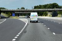
Tankersley Junction 35a |
A616 | SK358980 | Constructed in the late 1980's, M1 going under the southbound on slip, signed as Manchester A616. | |
|
Birdwell Junction 36 |
A61 | SE348000 | Standard roundabout interchange, M1 going under. Signed as Barnsley (South) A61 from the southbound direction, but Sheffield (North) A61 from the southbound direction. | |
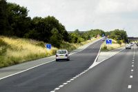
|
Dodworth Junction 37 |
A628 | SE321058 | Standard roundabout interchange, M1 going under, known for having some of the longest sliproads in the country, pronounced Dod'off. Signed as Manchester and Barnsley A628 from both directions. | |
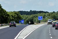
|
Haigh Junction 38 |
A637 | SE298119 | Standard roundabout interchange, M1 going over, primary access to Huddersfield from the south and signed as Huddersfield A637 from both directions. | |
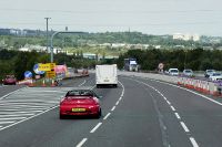
|
Durkar Junction 39 |
A636 | SE312172 | Standard roundabout interchange, M1 going over, with ramp metering on the northbound on slip, often referred to as Wakefield South. Signed as Wakefield A636 from the northbound direction and Denby Dale A636 from the southbound direction. | |
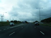
|
Flushdyke Junction 40 |
A638 | SE294208 | ||
|
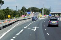
Carrgate Junction 41 |
A650 | SE308244 | ||
|
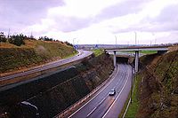
Lofthouse Junction 42 |
M62 | SE323261 | Hybrid three level stacked roundabout, with the roundabout at the top level, M62 in the middle, at the M1 at the lower level and a freeflow slip (EB to NB) at what could be called the basement level. Signed as Manchester, Bradford, Hull M62 from the northbound direction and Manchester, Bradford, Hull Pontefract M62 from the southbound direction. | |

|
Belle Isle Junction 43 |
M621 | SE321290 | ||
|
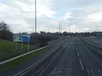
Rothwell Haigh Junction 44 |
A639, B6481 | SE336297 | ||
|
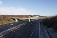
East Leeds Link Junction 45 |
A63 | SE350312 | ||
|
Austhorpe Junction 46 |
A63, A6120 | SE380333 | ||
|
Parlington Junction 47 |
A642, A656, B1217 | SE421345 | ||
|
Hook Moor Junction 48 |
A1(M) | SE436356 |
Videos
Major Road Ahead - Progress on the M1 Motorway (December 1958)
John Laing Film Unit Building M1 Motorway
300MPH Road
A modern 1961 version of the famous film of a speeded-up train journey from London to Brighton.


